
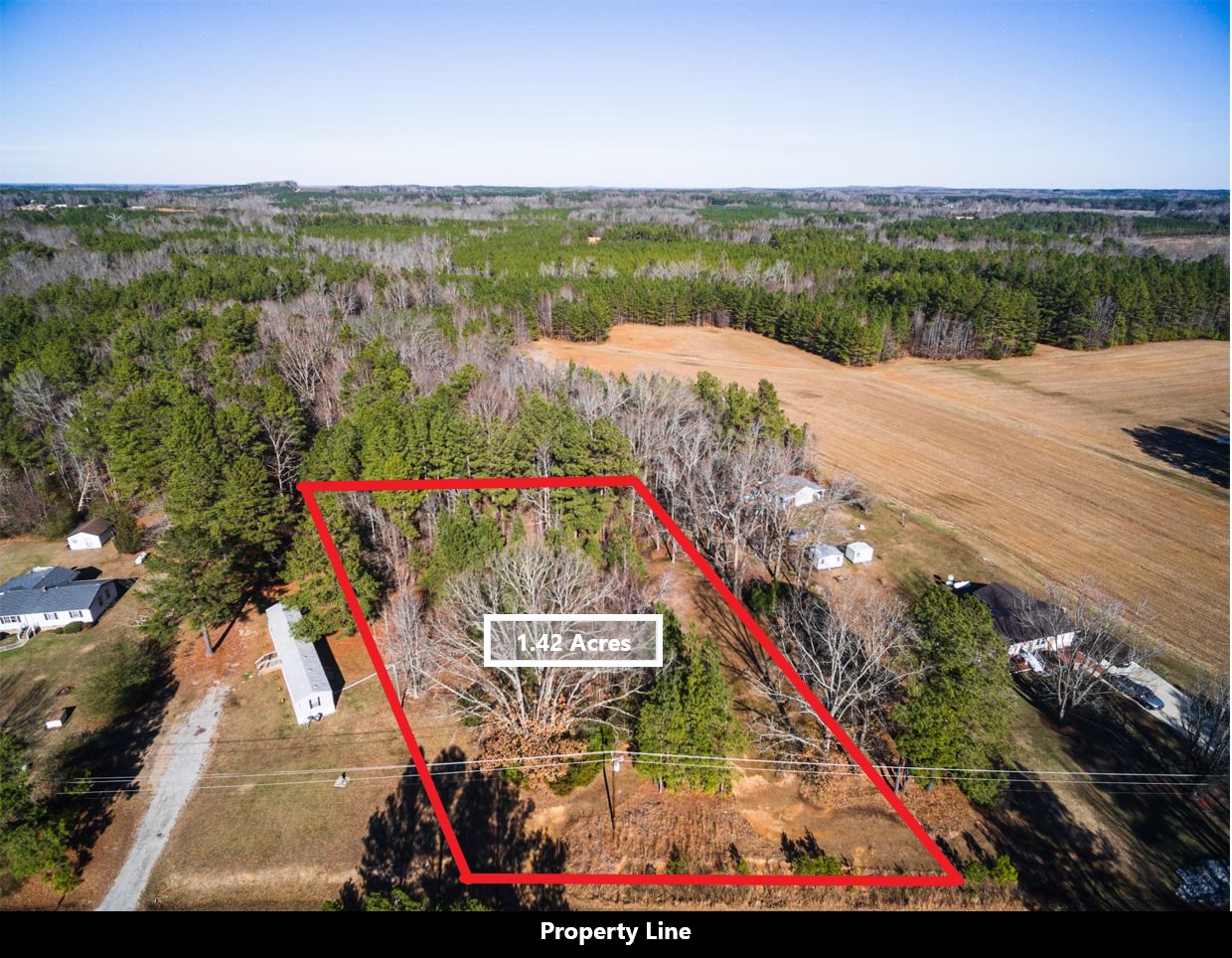
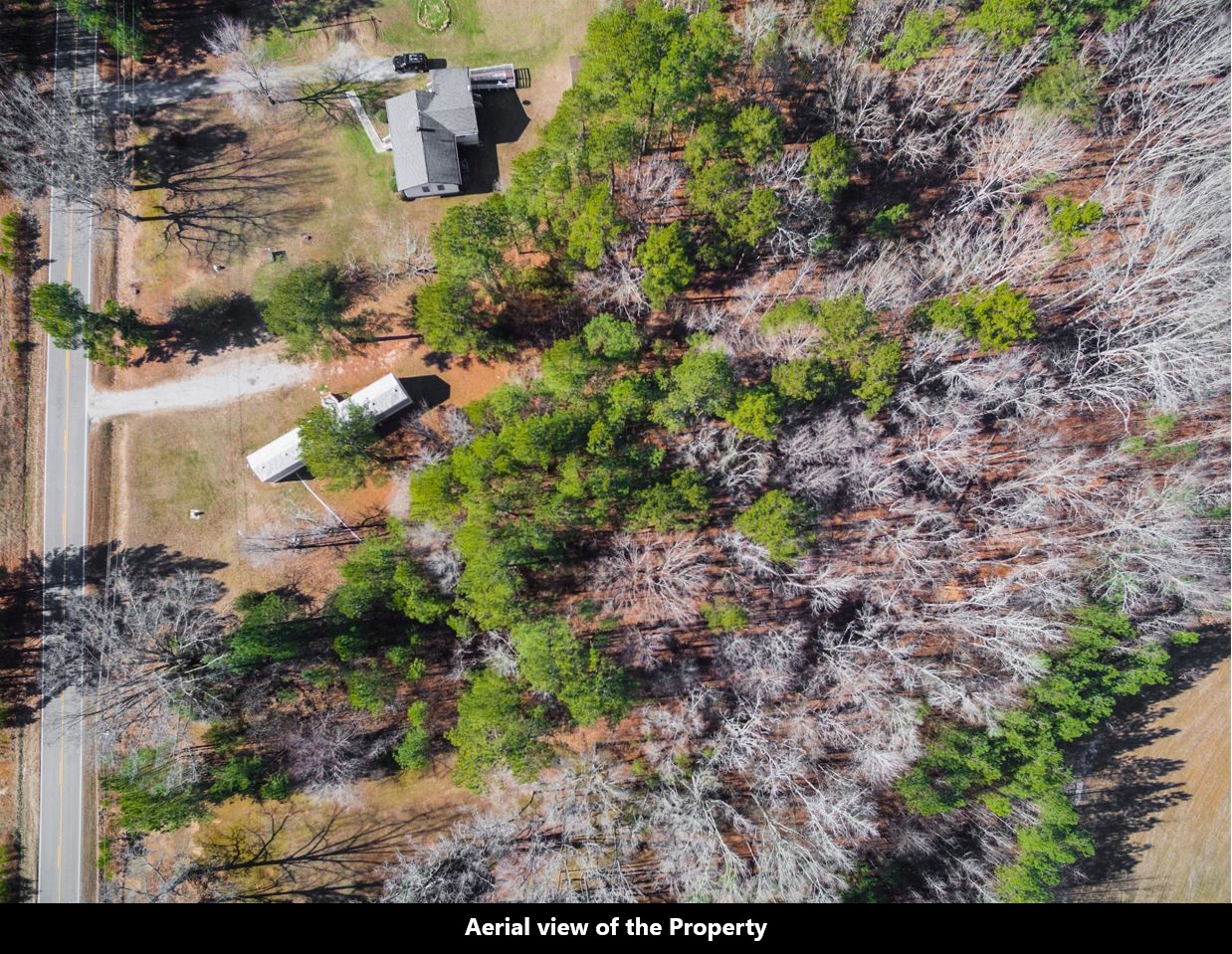
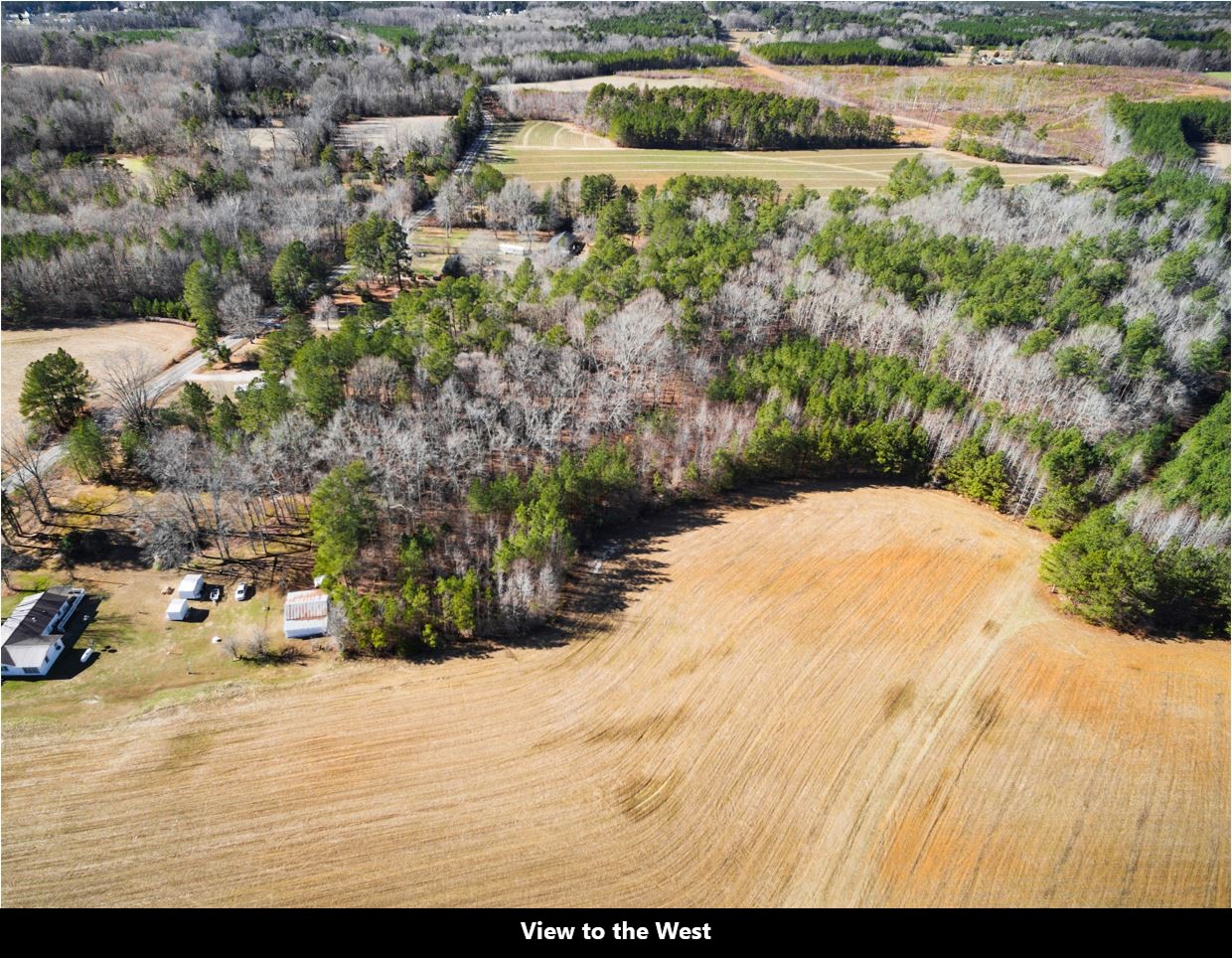

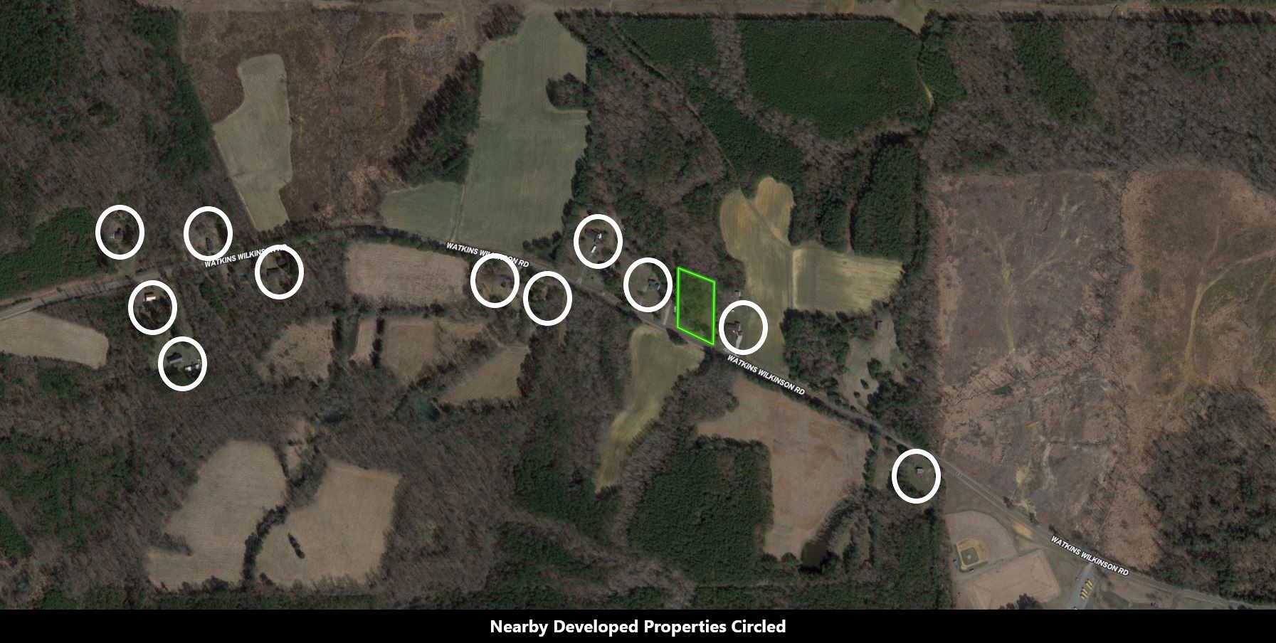
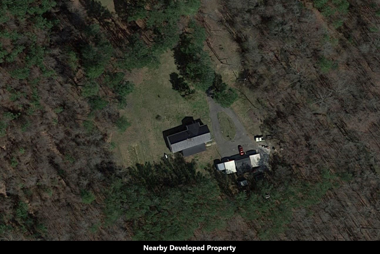
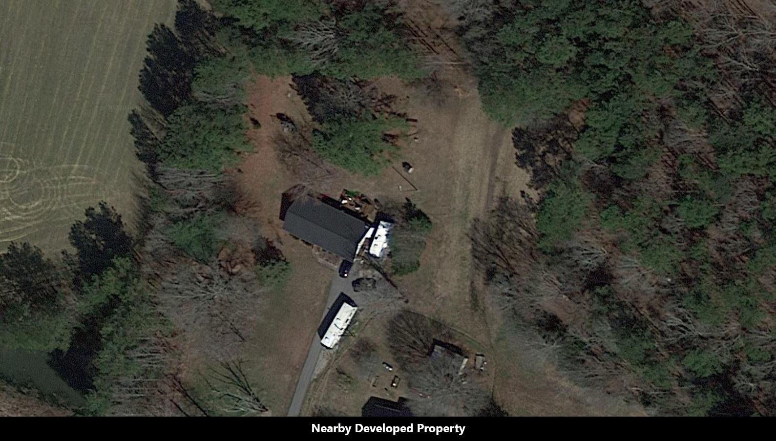


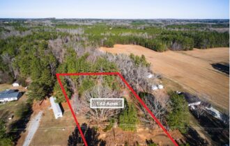
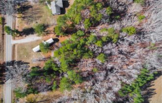
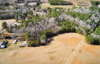
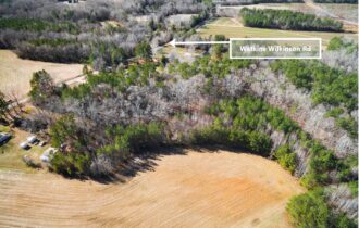
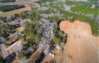
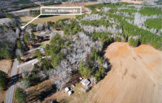
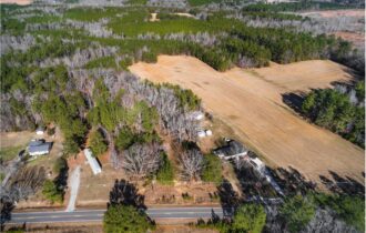
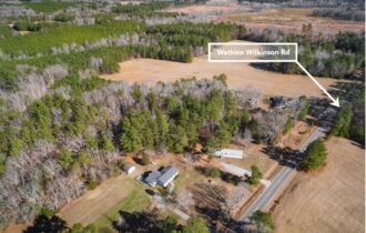
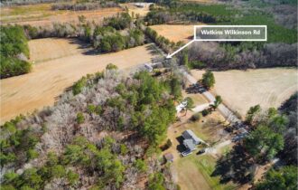
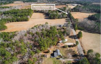
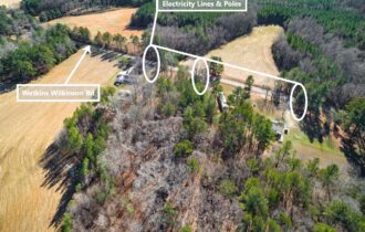
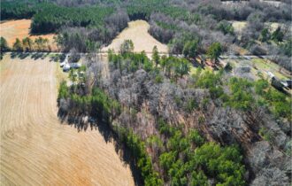

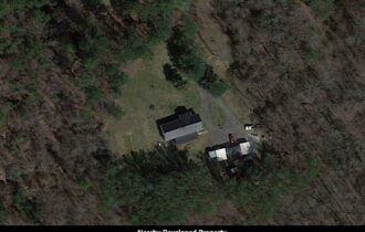


1.42-Acres of Wooded Land with Road Frontage, Electricity, and Lush Trees
Payment Options
Payment Note(s)
Once you click the Buy Now button and complete the Checkout Process, we will receive an instant notification that your $499 deposit has been made. The $499 deposit is credited towards your purchase and we cover ALL of the Closing Costs.
The remaining balance may be paid by Wire Transfer, Cashier’s Check, ACH Bank Draft, Credit Card, and/or Debit Card. We make the whole process super simple and we can complete your purchase in as little as 1 day.
Call or Text us anytime at (919) 228-8184 for questions or to purchase this property.
Please reference the LANDELLO Property ID: NC_Louisburg_00006
Property Information
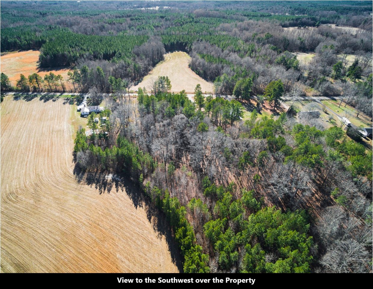
Parcel Size
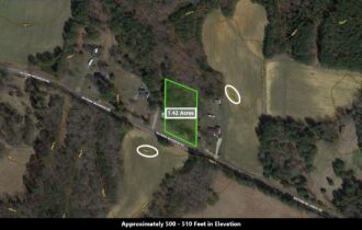
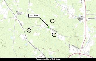
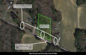
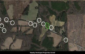
1.42 Acres
State
North Carolina
County
Granville
Nearest Cities
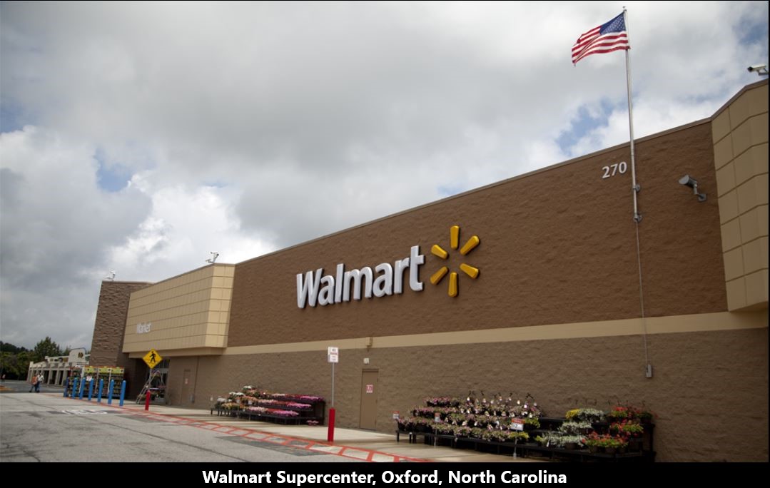
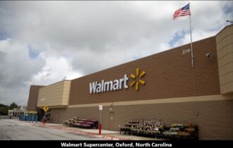
Oxford
Parcel #
12838
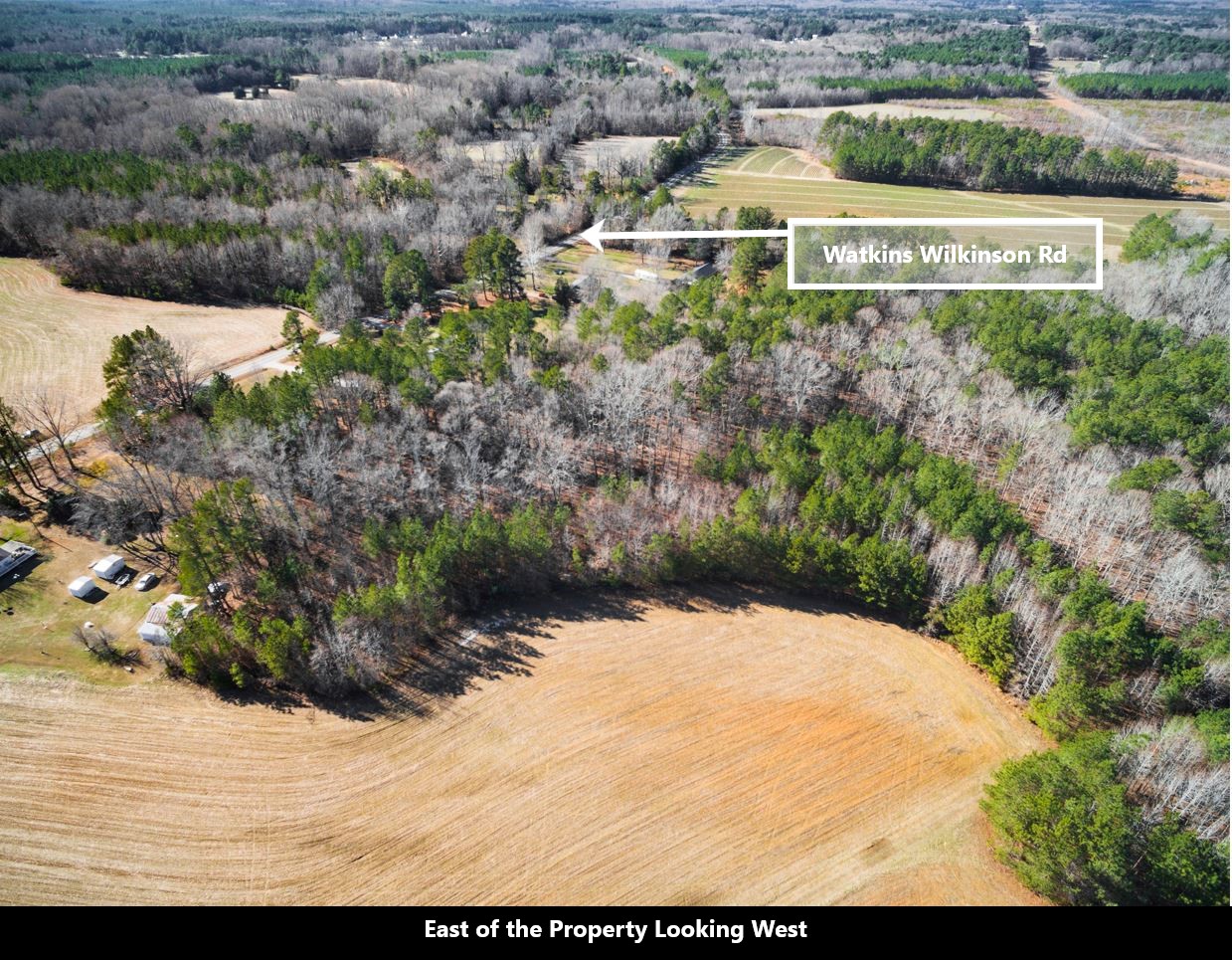
Address
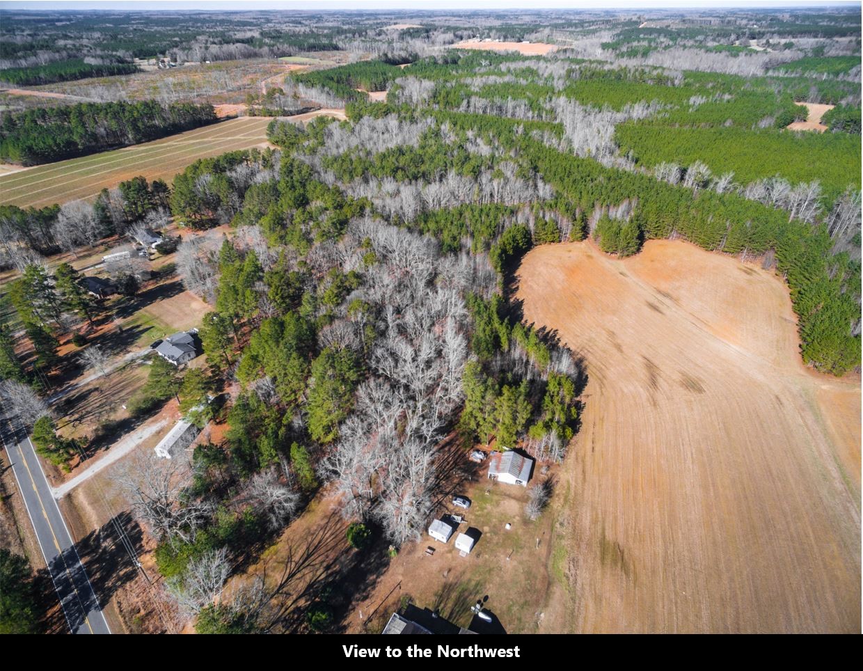
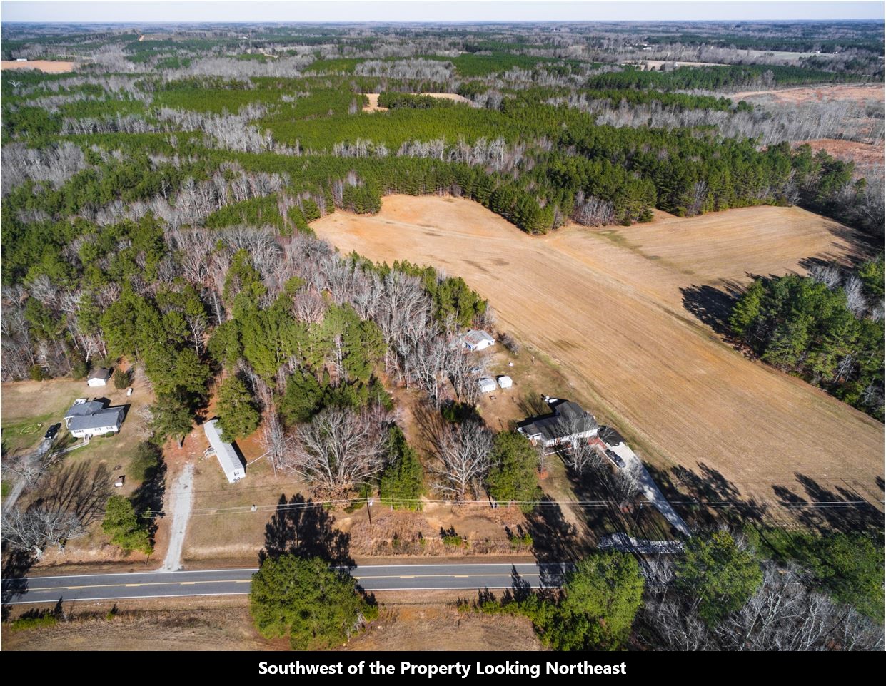
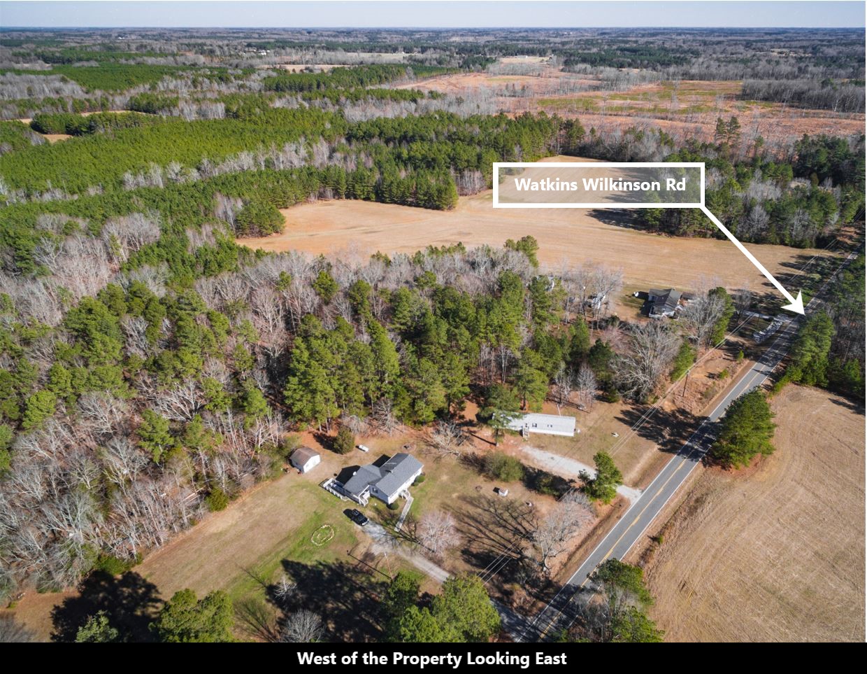
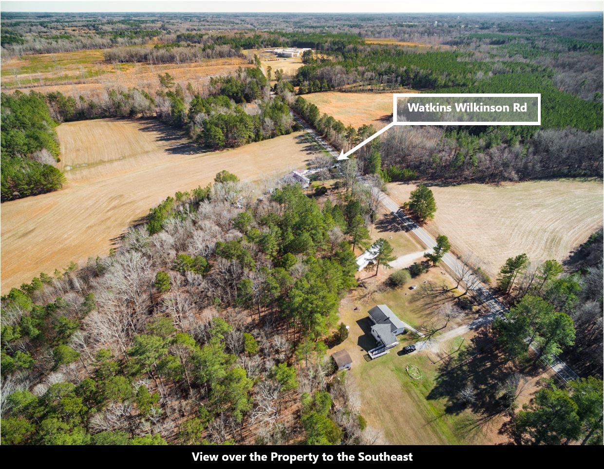
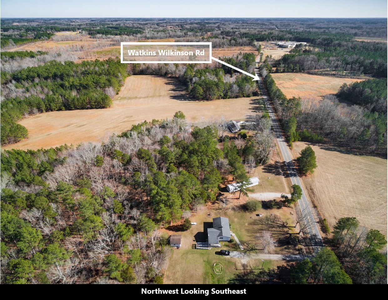
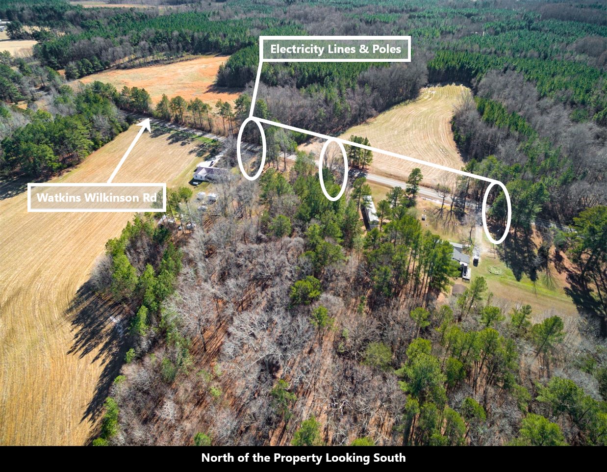
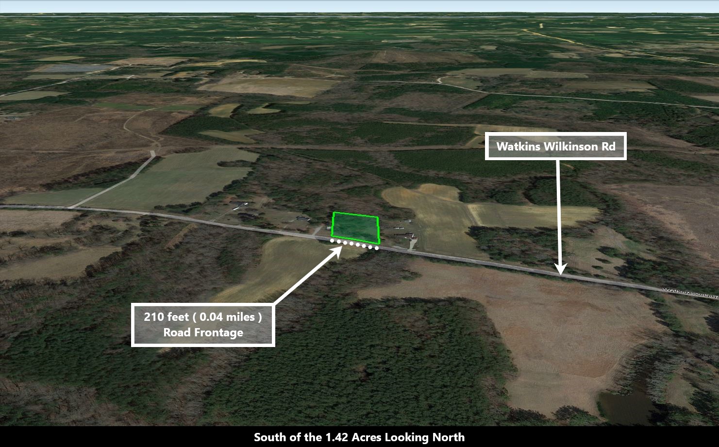
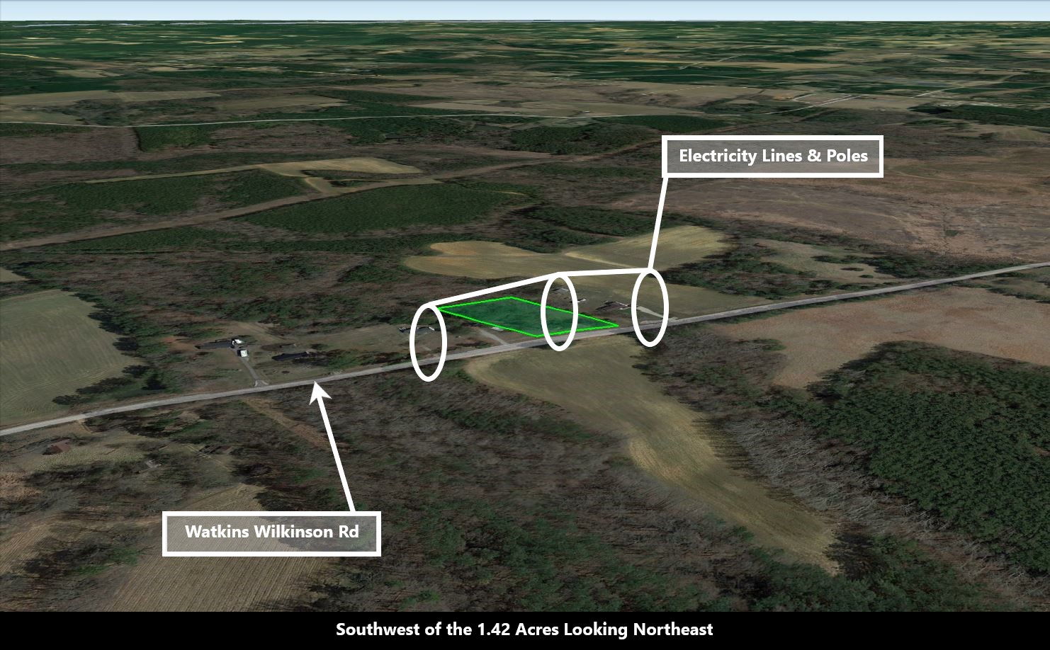
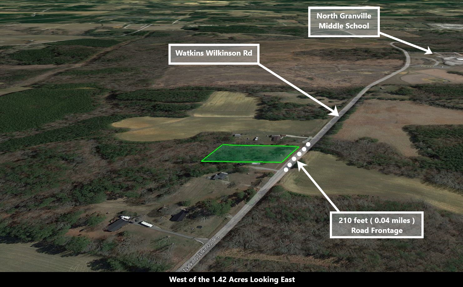
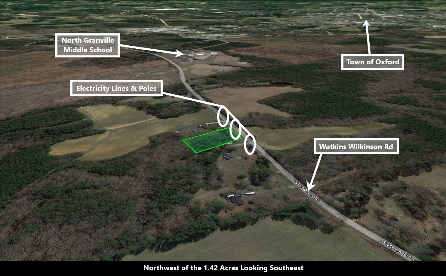
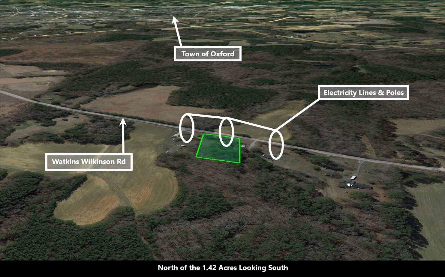
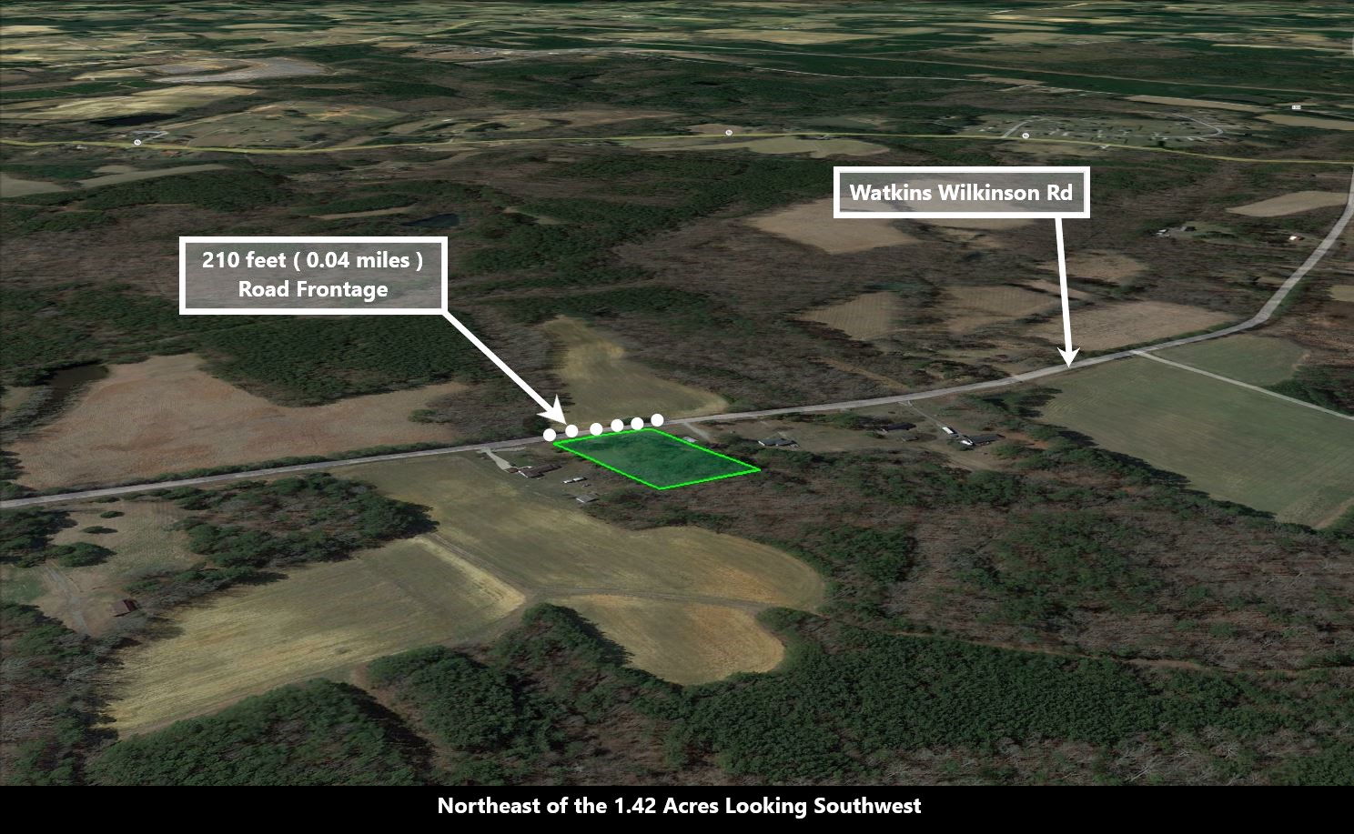
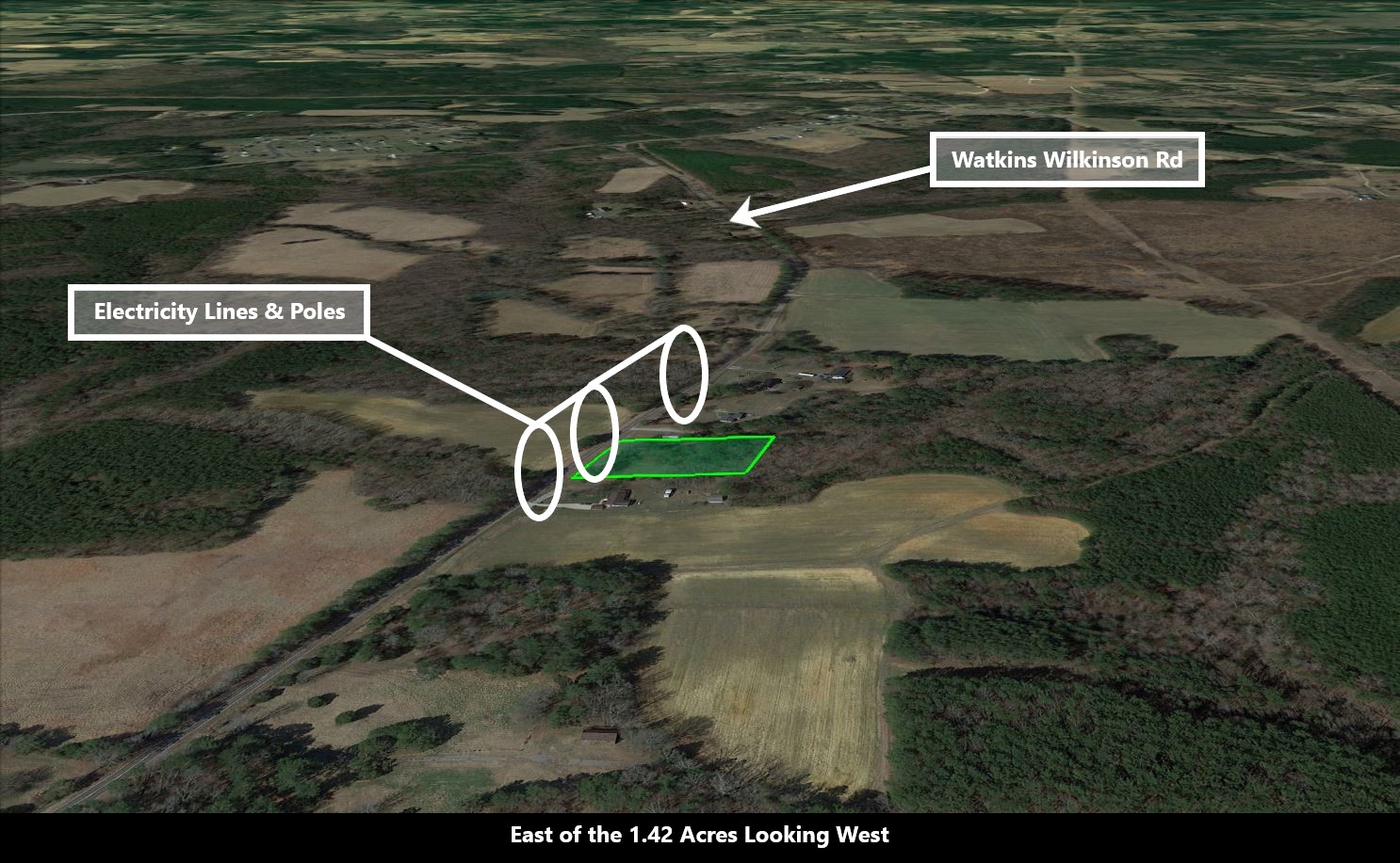
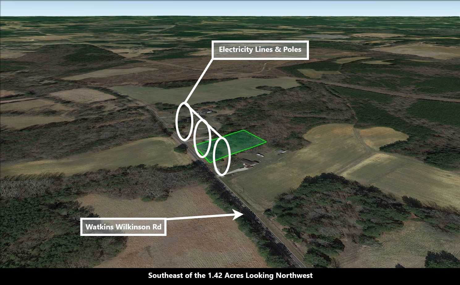
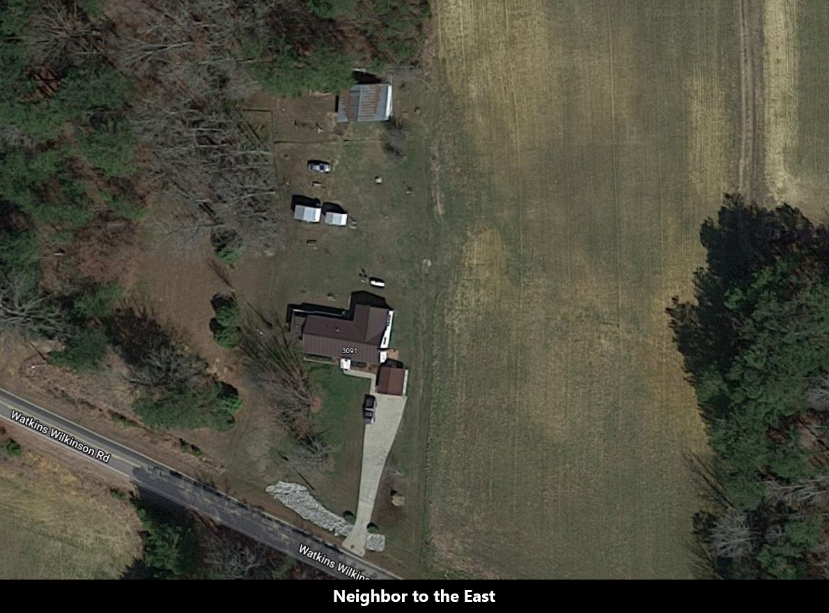
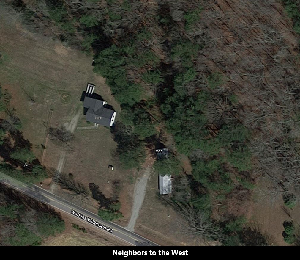
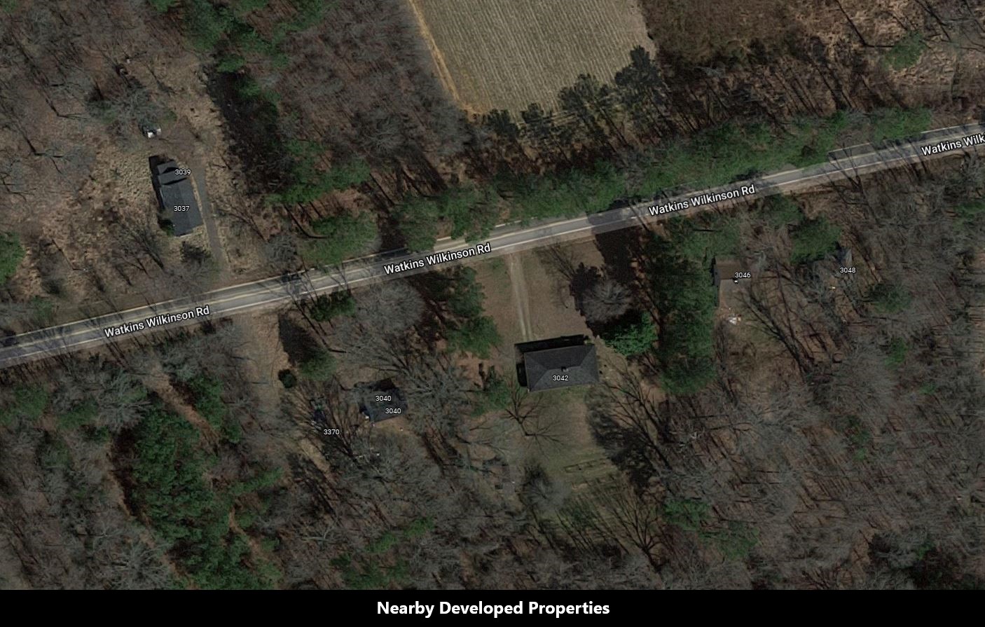
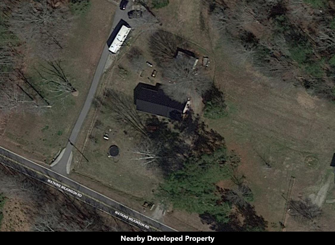
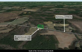
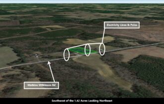
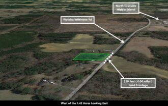
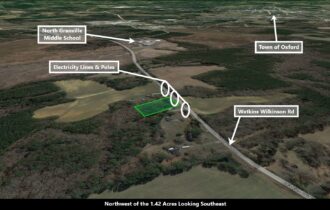
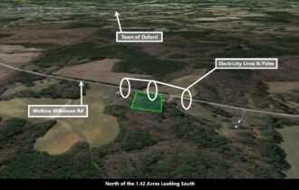
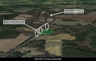
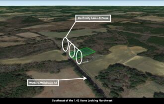
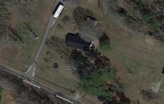
3089 WATKINS WILKINSON RD
Legal Description
ACRES
Features
Acres
1.42
Dimension
311 x 200
County
Granville
Subdivision
Exists
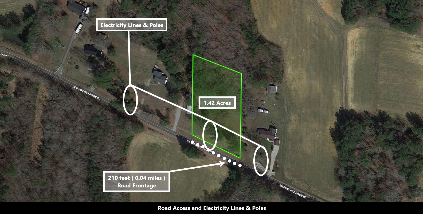
Access
Paved Road
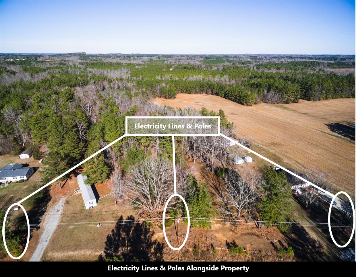
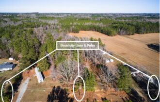
Power
Electricty
Water
None
Heating
Electricty
Coordinates
36.348454, -78.611846
Zoning
Single family homes / Manufactured Mobile Home
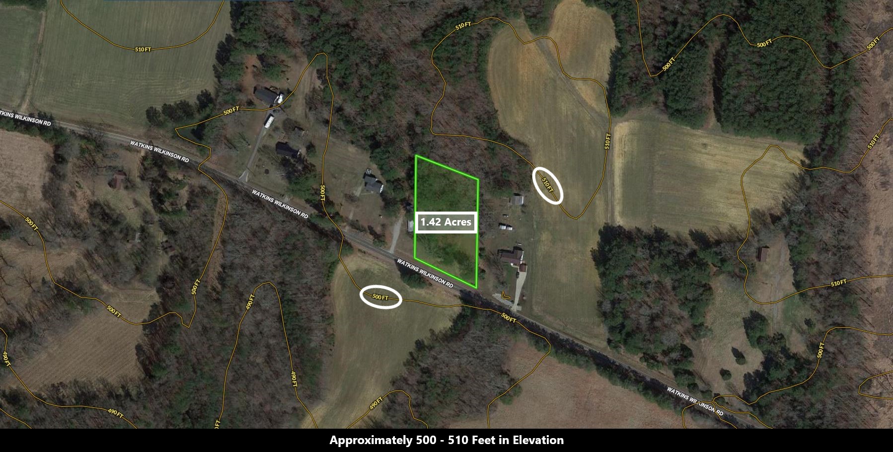
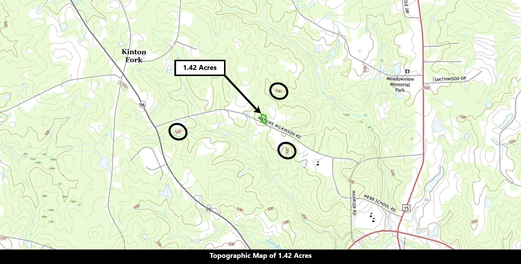
Elevation
500 – 510 FT
Purchase Information/Fees
$250 / One Time
Document Processing
An additional fee of $250 covers the preparation of your agreement, document, and recording costs of transferring the property to you once it has been paid in full.
WAIVED
Closing Fee
Normally an additional fee of $200 to close on this property with the title company
$20/ Mo
Loan Service
The setup of your installments and monthly loan servicing.
Description
Make yourself at home, live in a county filled with historical beauty and rich resources, enjoy fine craftsmanship and cultural events. Granville county is a county located on the northern border of the State of North Carolina. As of the 2010 Census, the population was about 60,000. Its county seat is Oxford.
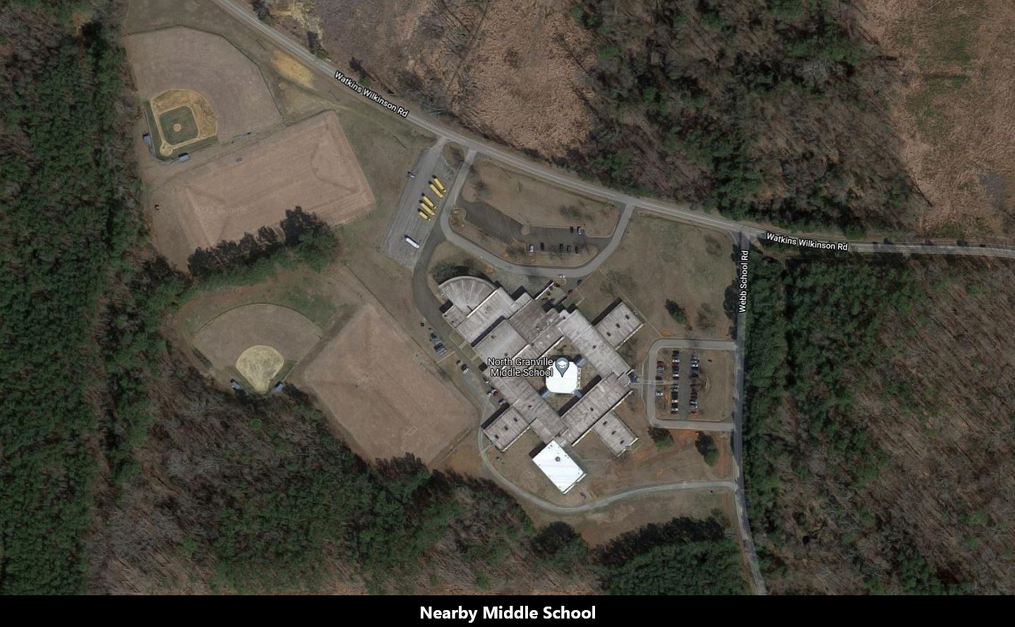
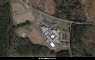
This property is a few miles away from the Meadows Memorial park, specifically about 3 minutes drive. Just on Watkins Wilkinson Road is one of the best schools in the county, North Granville Middle School. Kids from North Granville Middle School turn out to be one of the best when they get into college.
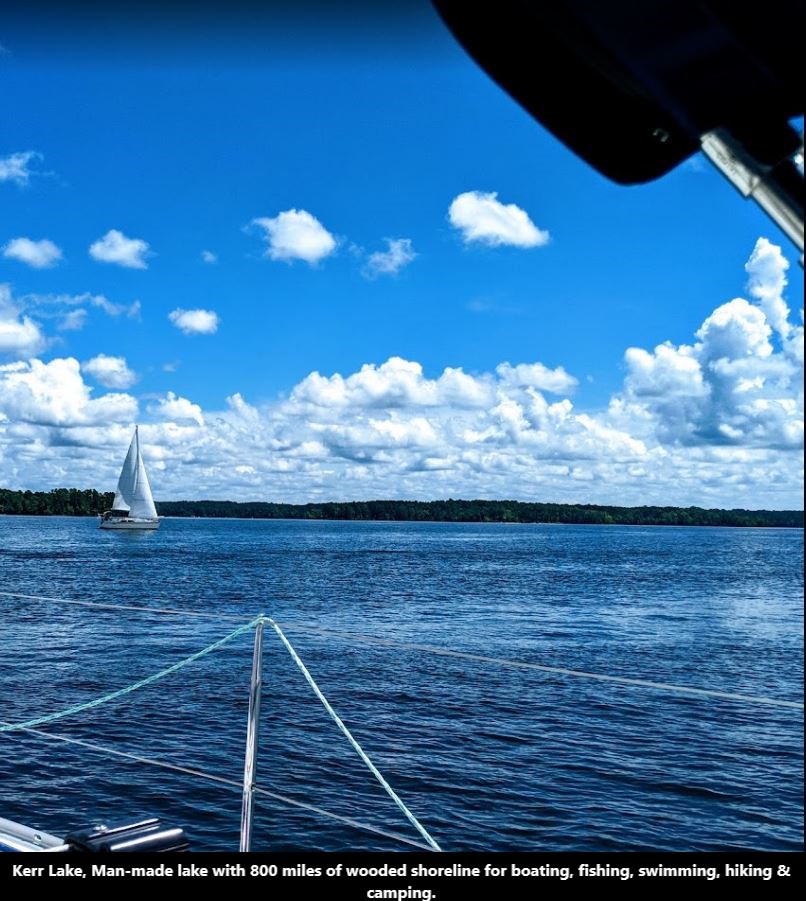
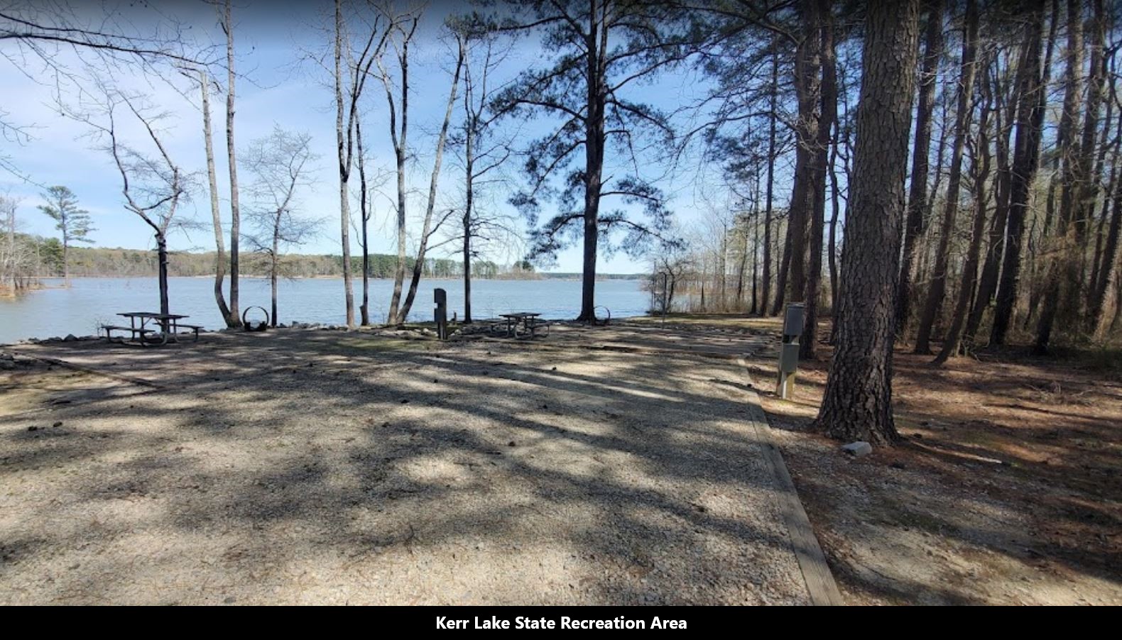
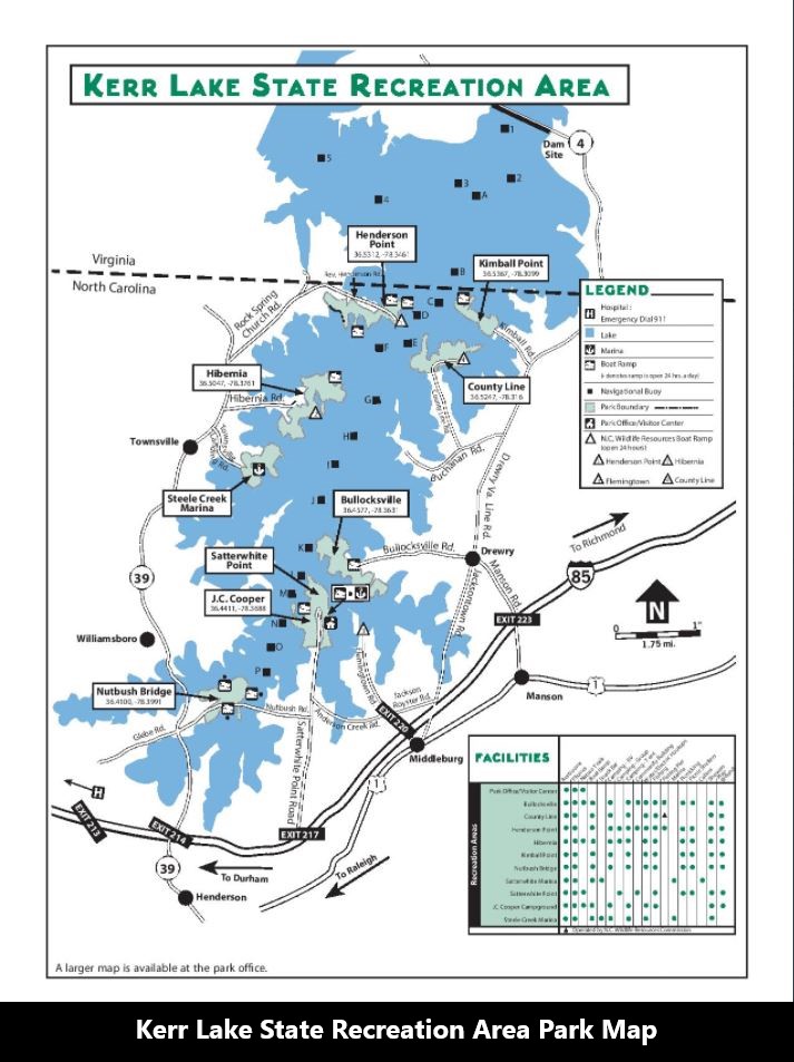
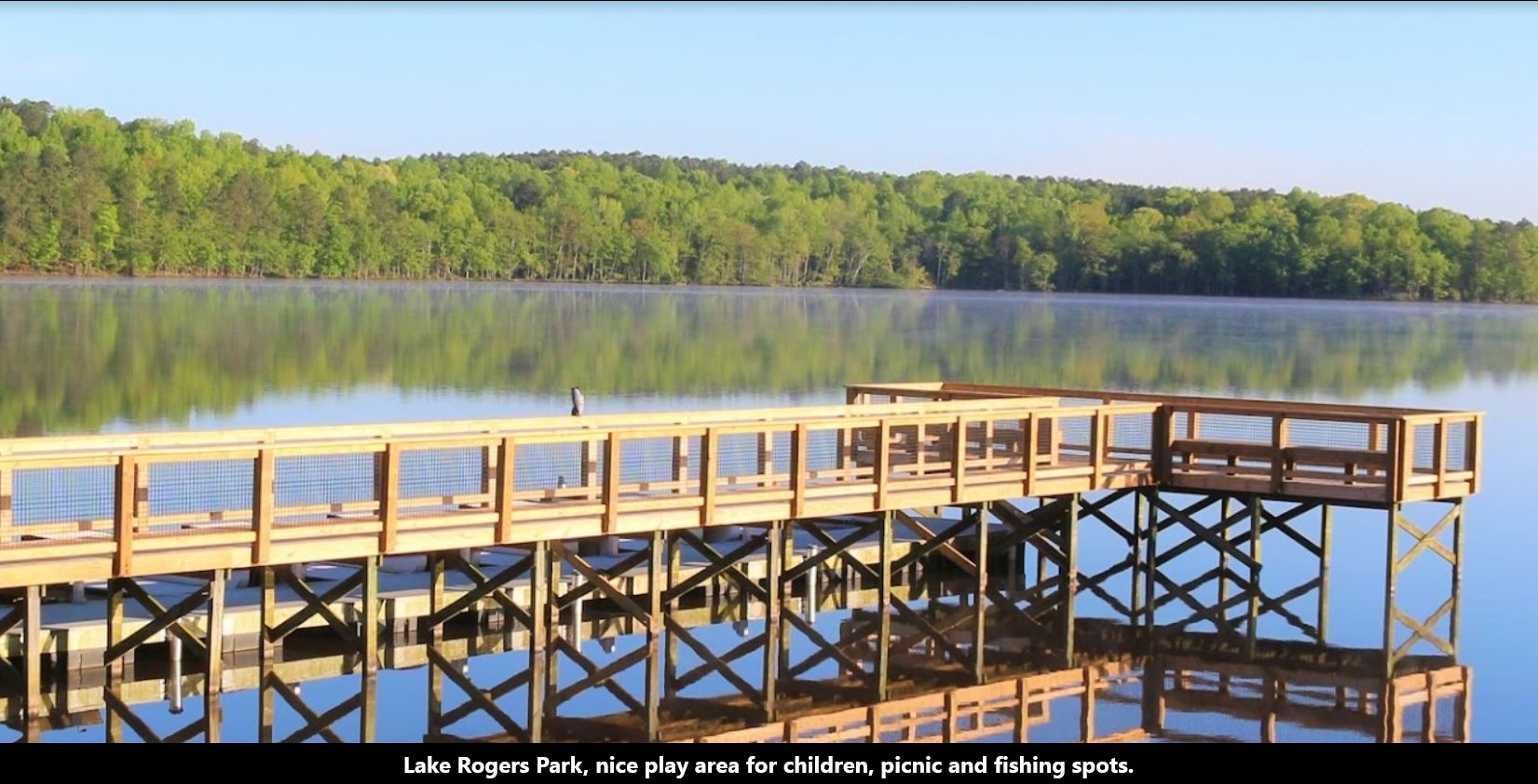
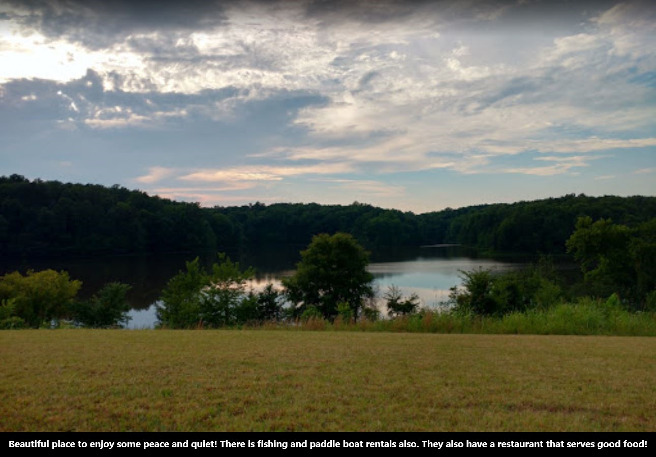
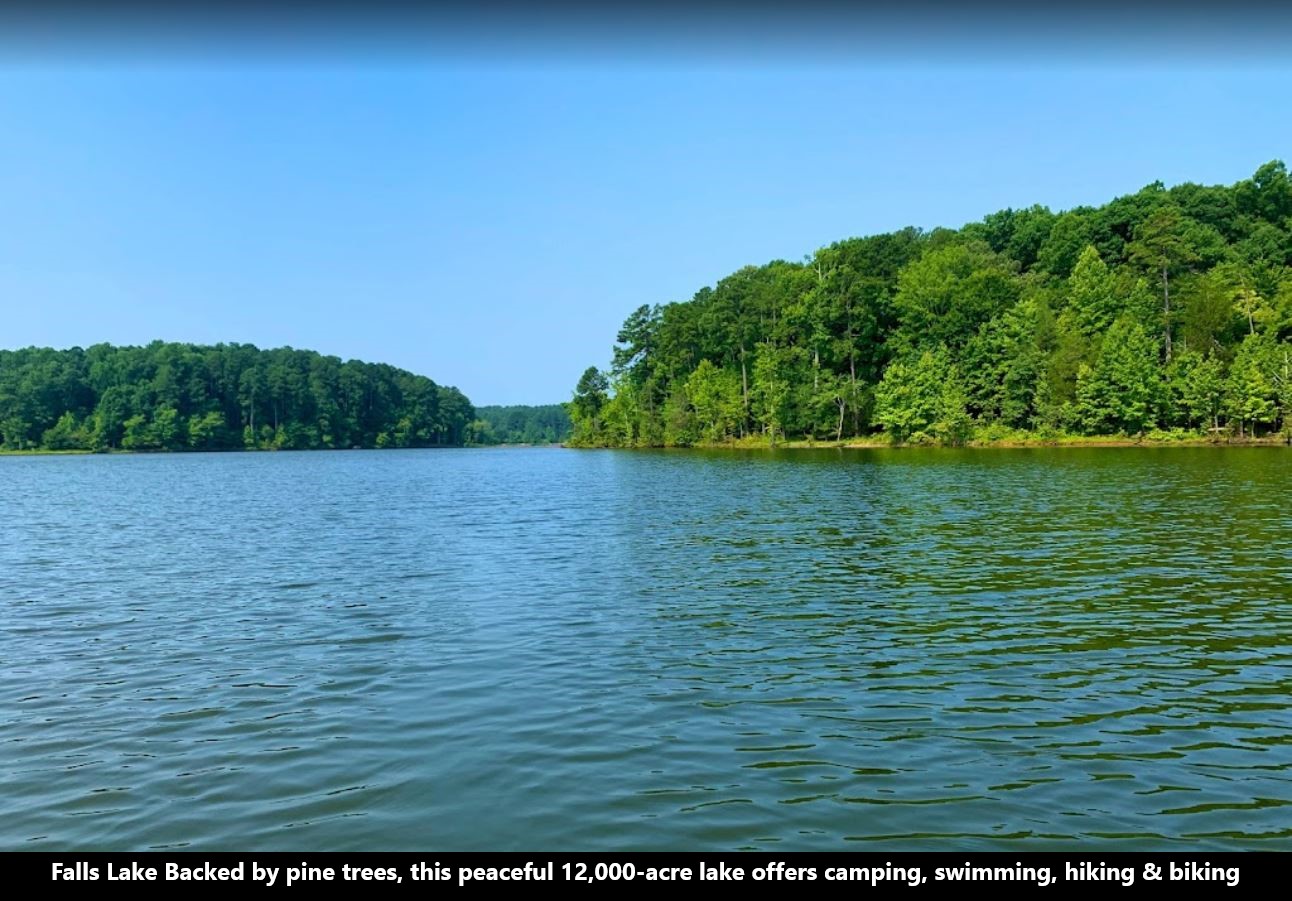
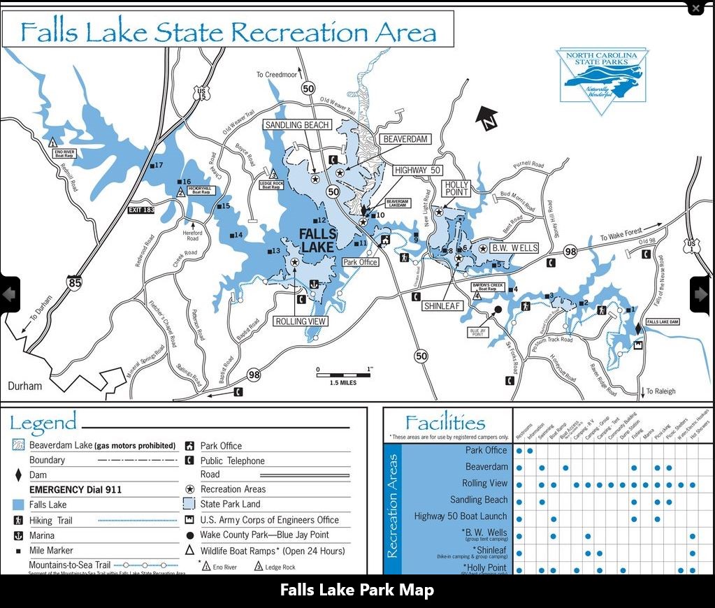
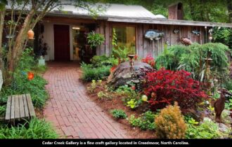
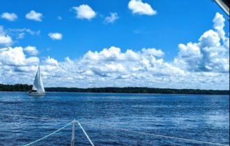
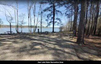
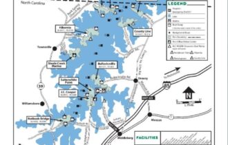
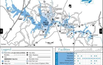
Granville County encompasses Oxford, NC Micropolitan Statistical Area, which is also included in the Raleigh-Durham-Chapel Hill, North Carolina Combined Statistical Area. The county has access to Kerr Lake and Falls Lake and is part of the Roanoke, Tar, and Neuse River watersheds.
J. F. Webb High School and Oxford Preparatory are just a few miles away from the property. After a long day, locals go to Family Diner which is about 2.8 miles from the property, to have a nice meal and talk about their day.
English colonists formed Granville county in 1746. It was named after John Carteret, 2nd Earl Granville, who claimed one-eighth of the territory given in the 1665 charter as the successor of one of the eight original Lords Proprietors of the Province of Carolina. The claim was formed to cover about the northern half of North Carolina, and this region became known as Granville County, also known as Oxford.
NO HOA (HomeOwners Association) fee.
No public water in this area.
Parcel Size: 1.42 Acres
Legal Description: WATKINS WILKINSON RD
Property Taxes: $0/Year
Elevation: 500-510 Feet
Title:
Conveyance: Warranty Deed
Access Road: PAVED
GPS Coordinates: 36.348454, -78.611846 (Google Maps)
Approximate Distance to Nearby Cities & Points of Interest
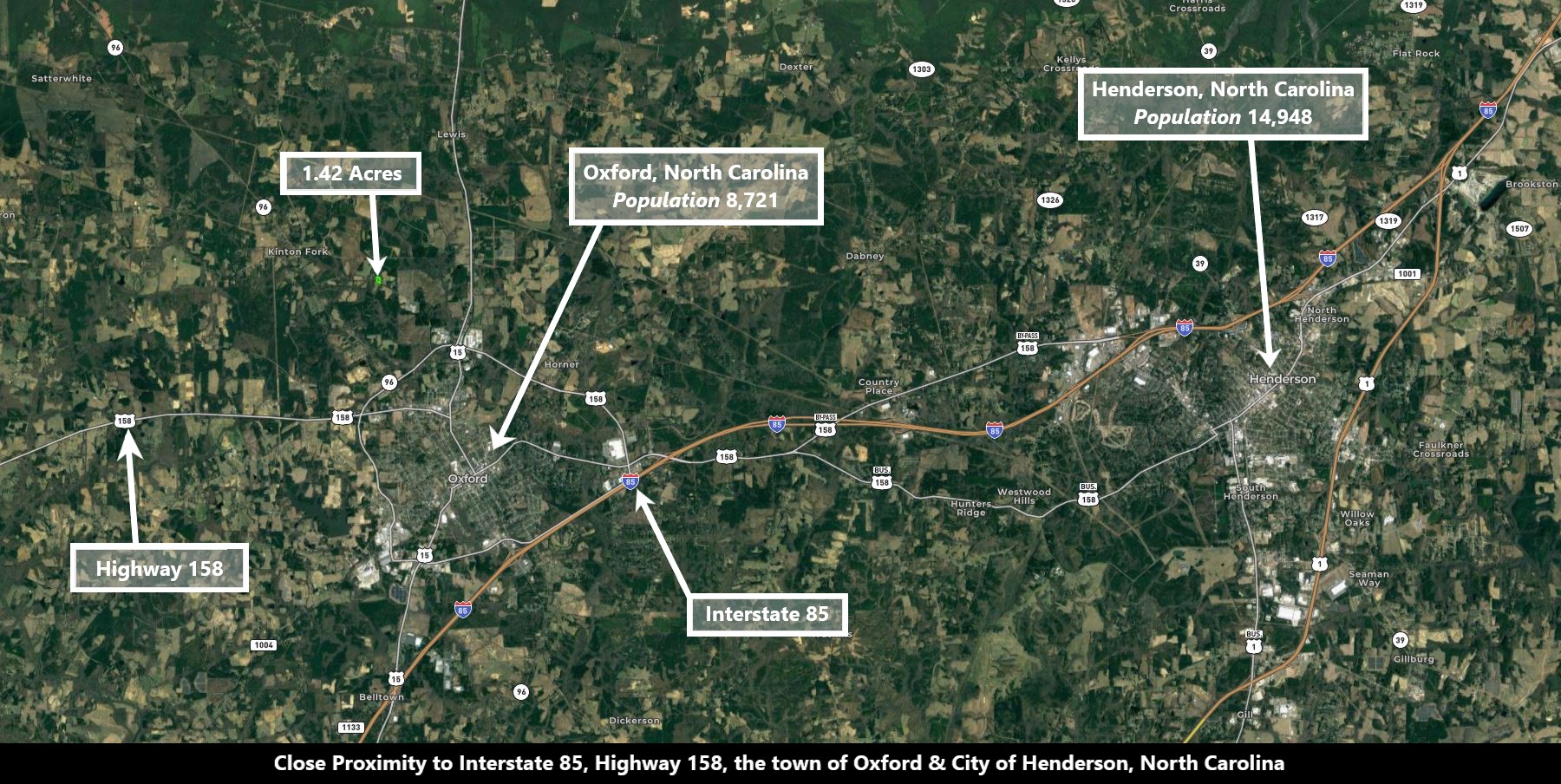
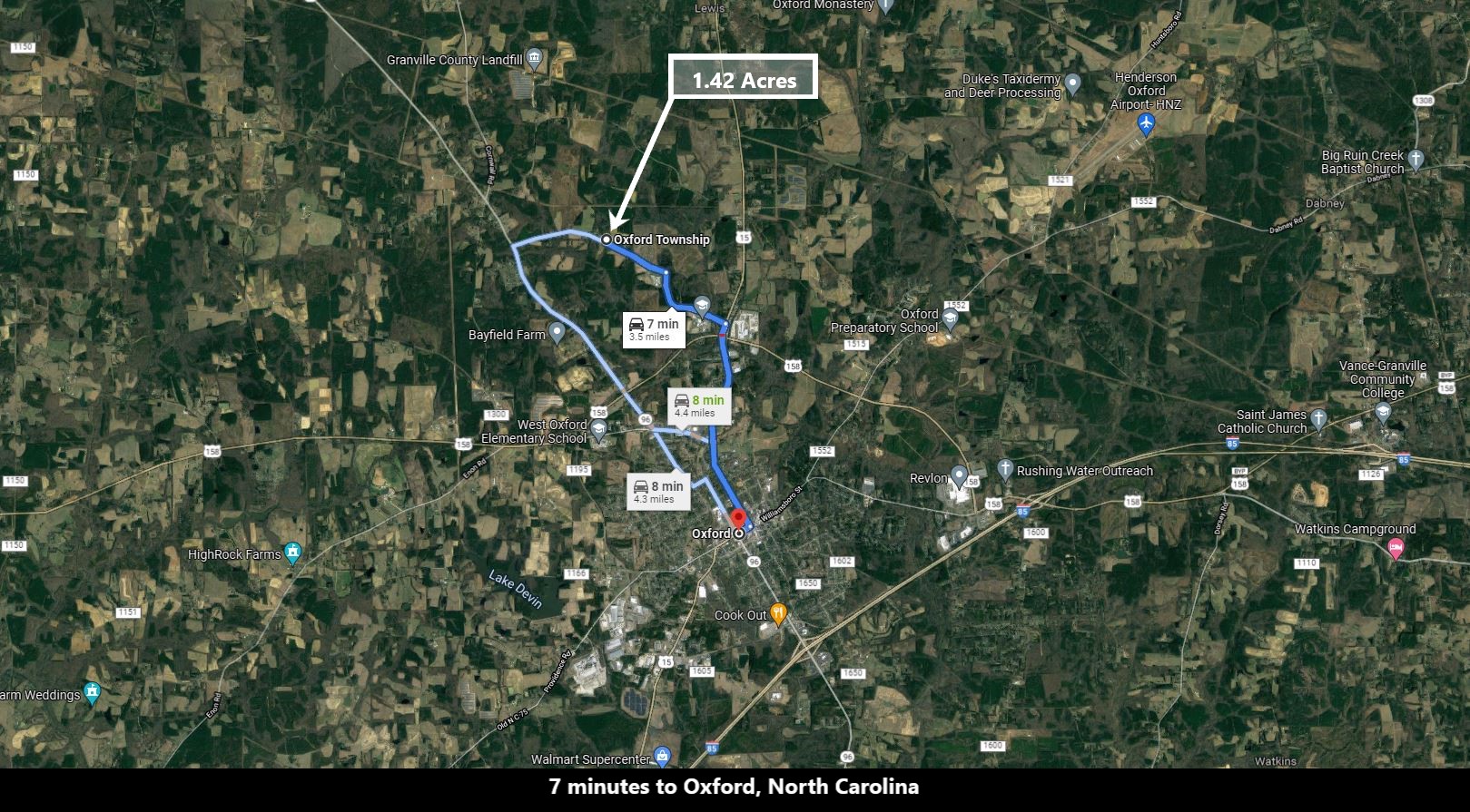
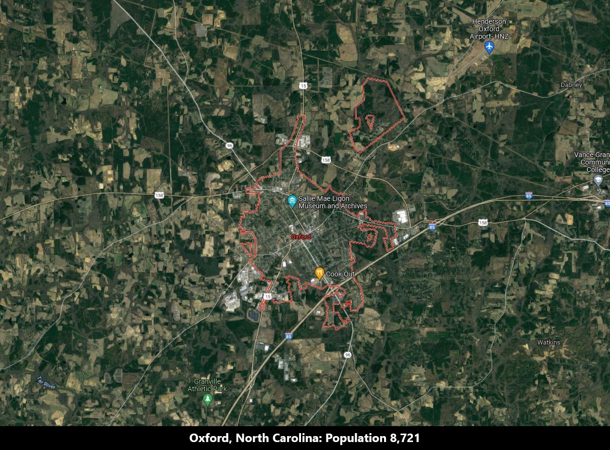
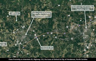
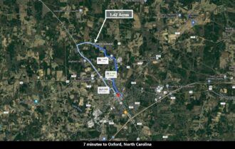
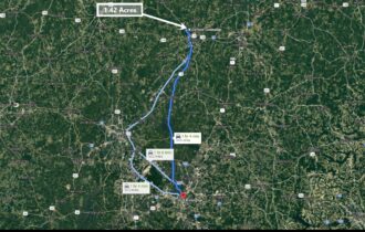
7 minutes to Oxford, North Carolina: Population 8,721 (More Info)
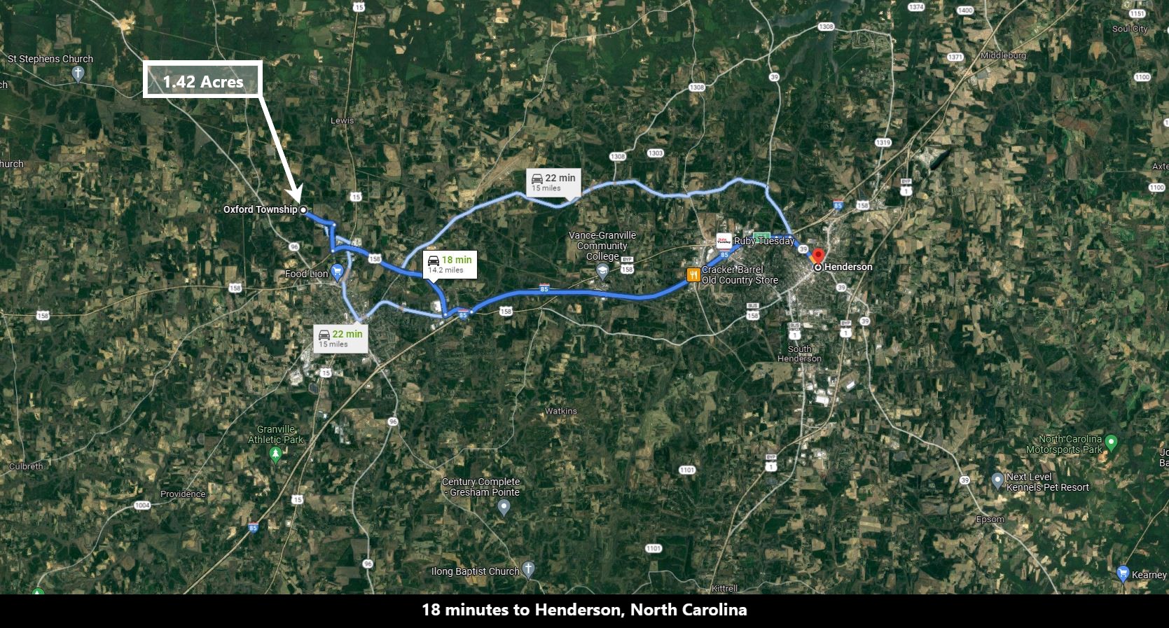
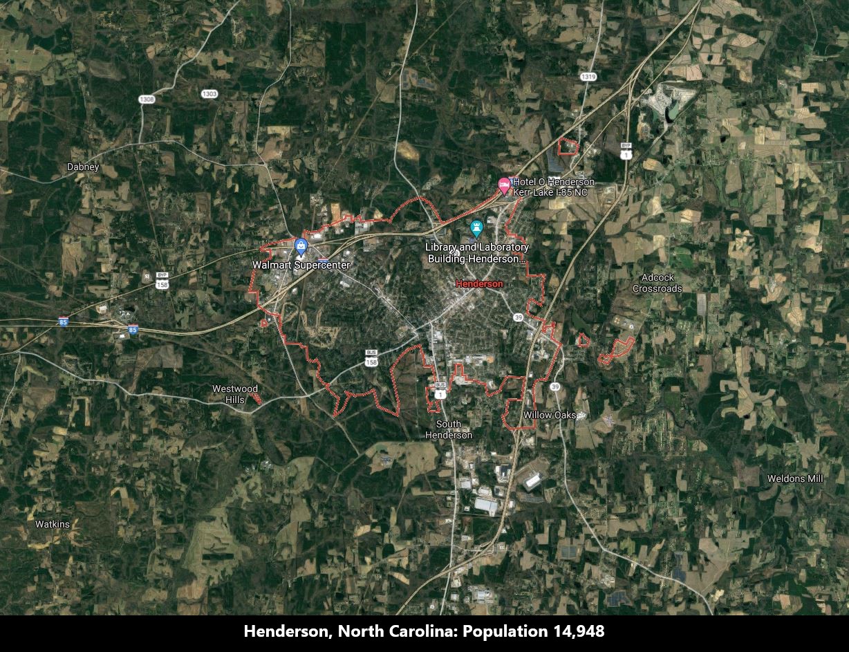
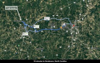
18 minutes to Henderson, North Carolina: Population 14,948 (More Info)
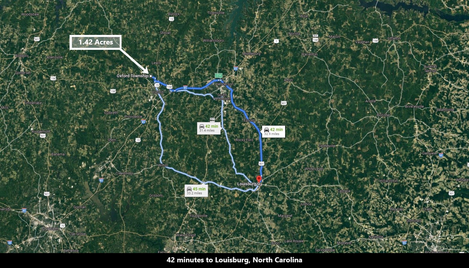
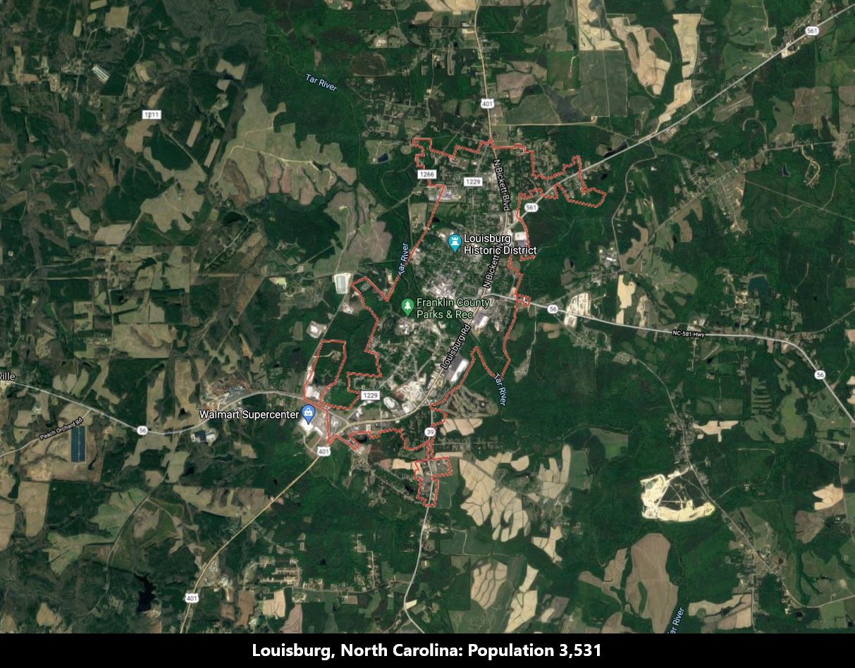
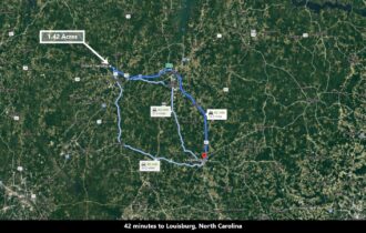
42 minutes to Louisburg, North Carolina: Population (More Info)
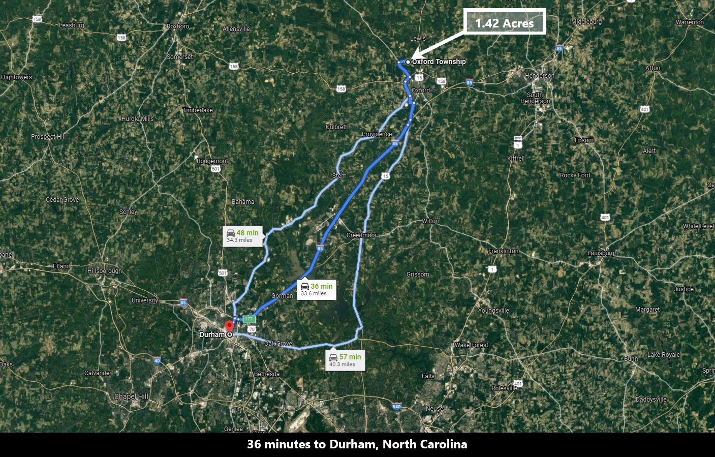
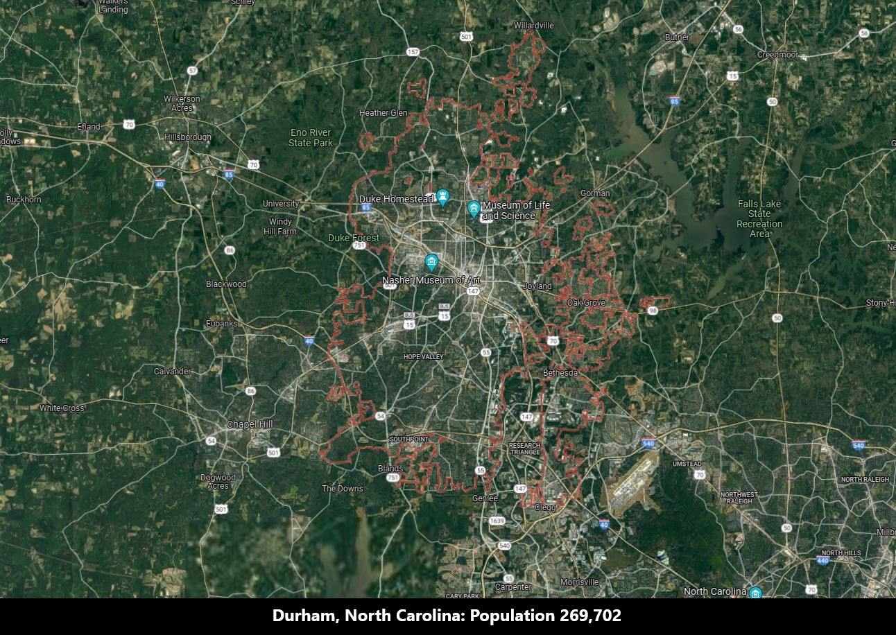
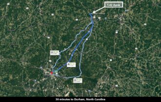
36 minutes to Durham, North Carolina: Population 269,702 (More Info)
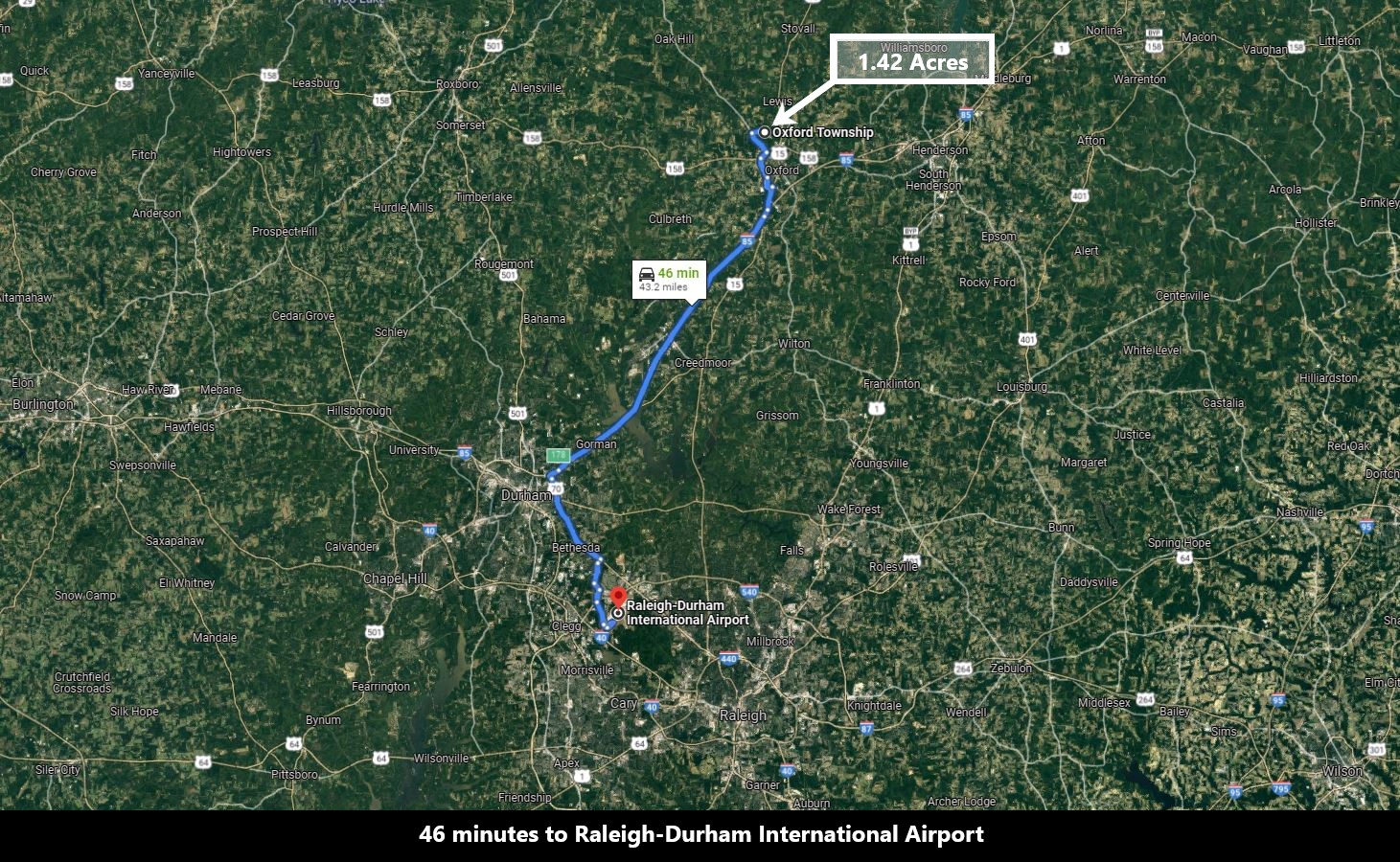
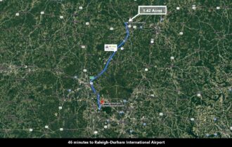
46 minutes to Raleigh – Durham International Airport (More Info)
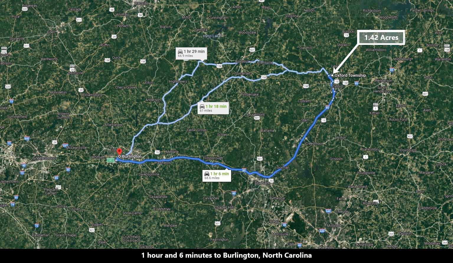
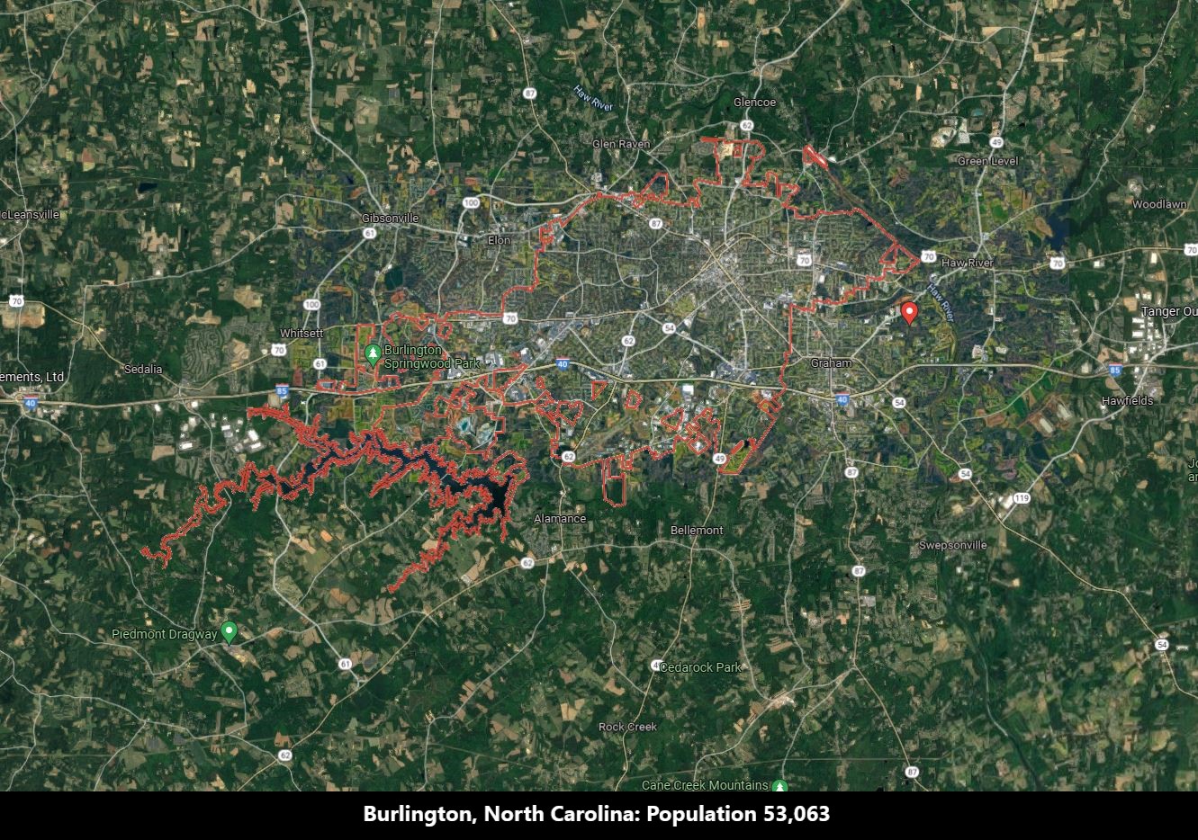
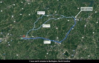
1 hour and 6 minutes to Burlington, North Carolina: Population 53,063 (More Info)
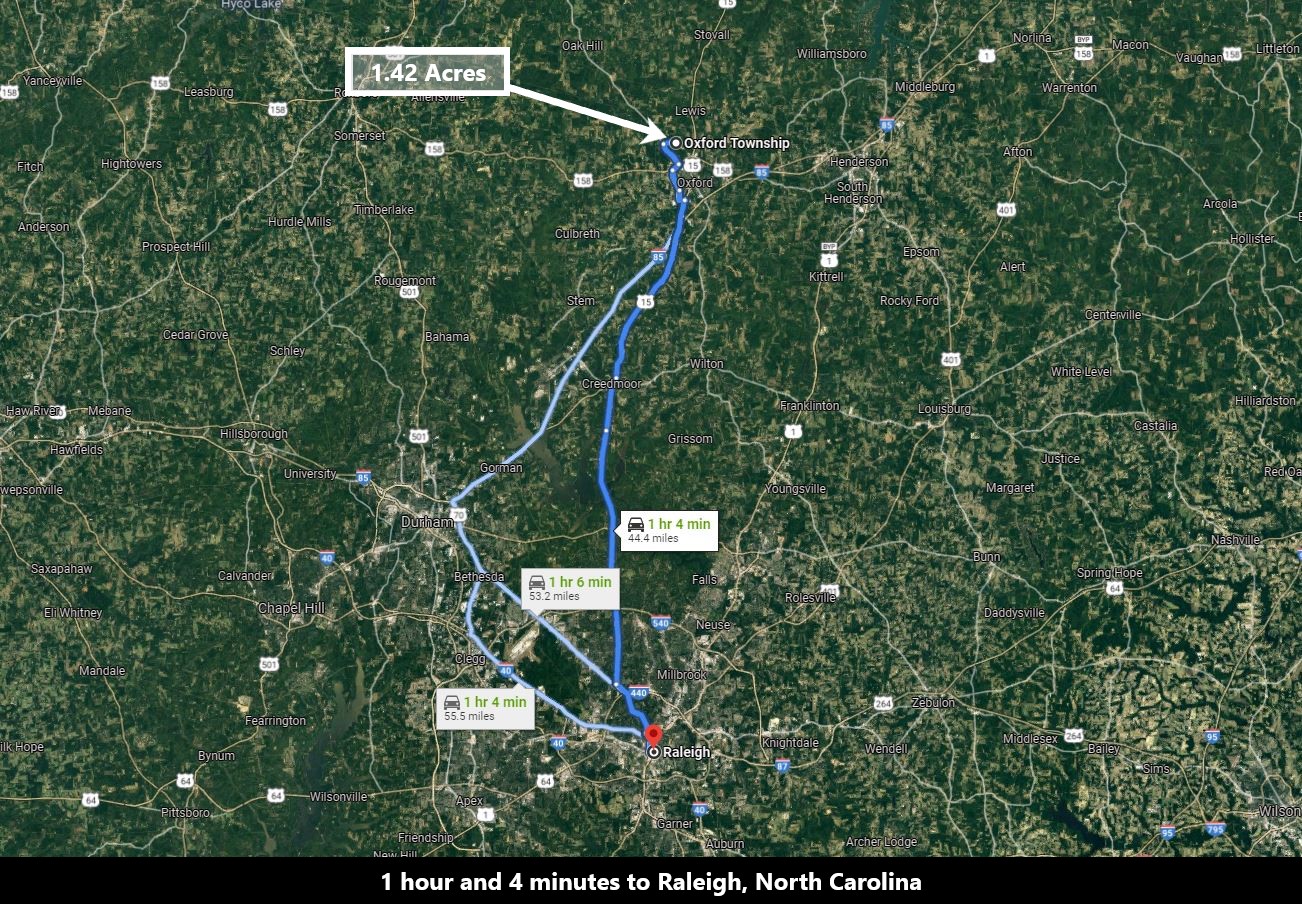
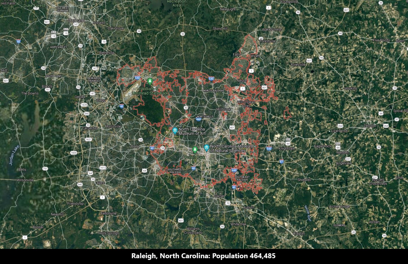
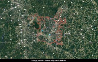
1 hour 4 minutes to Raleigh, North Carolina: Population 464,485 (More Info)
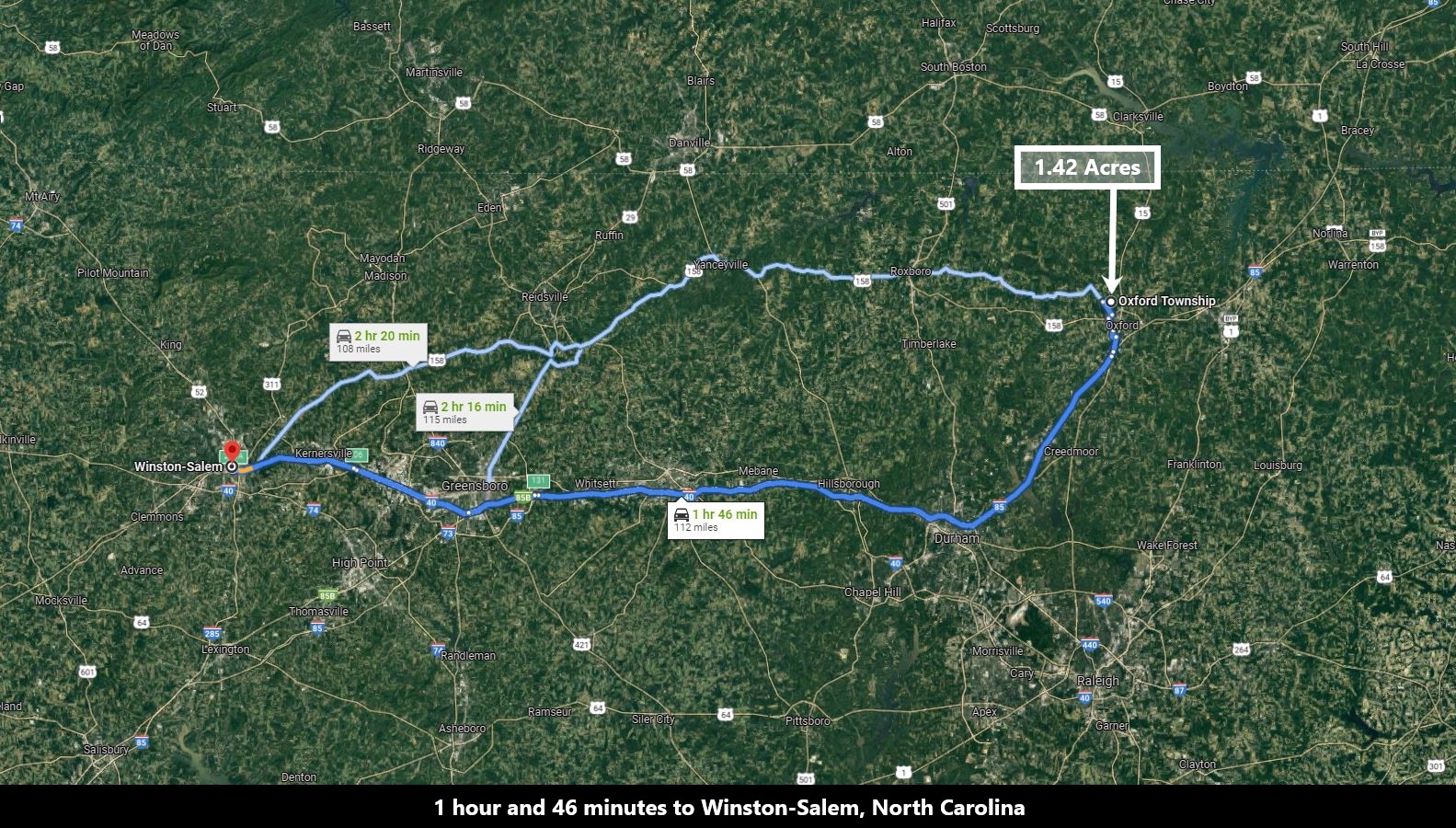
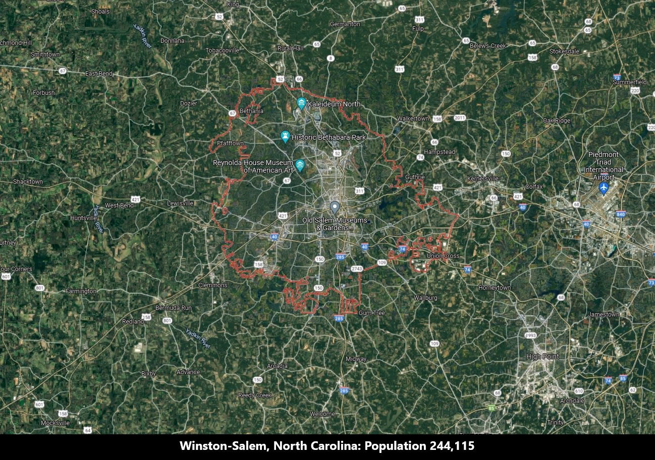
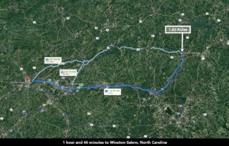
1 hour 46 minutes to Winston-Salem, North Carolina: Population 244,115 (More Info)
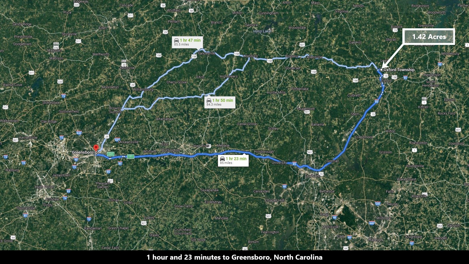
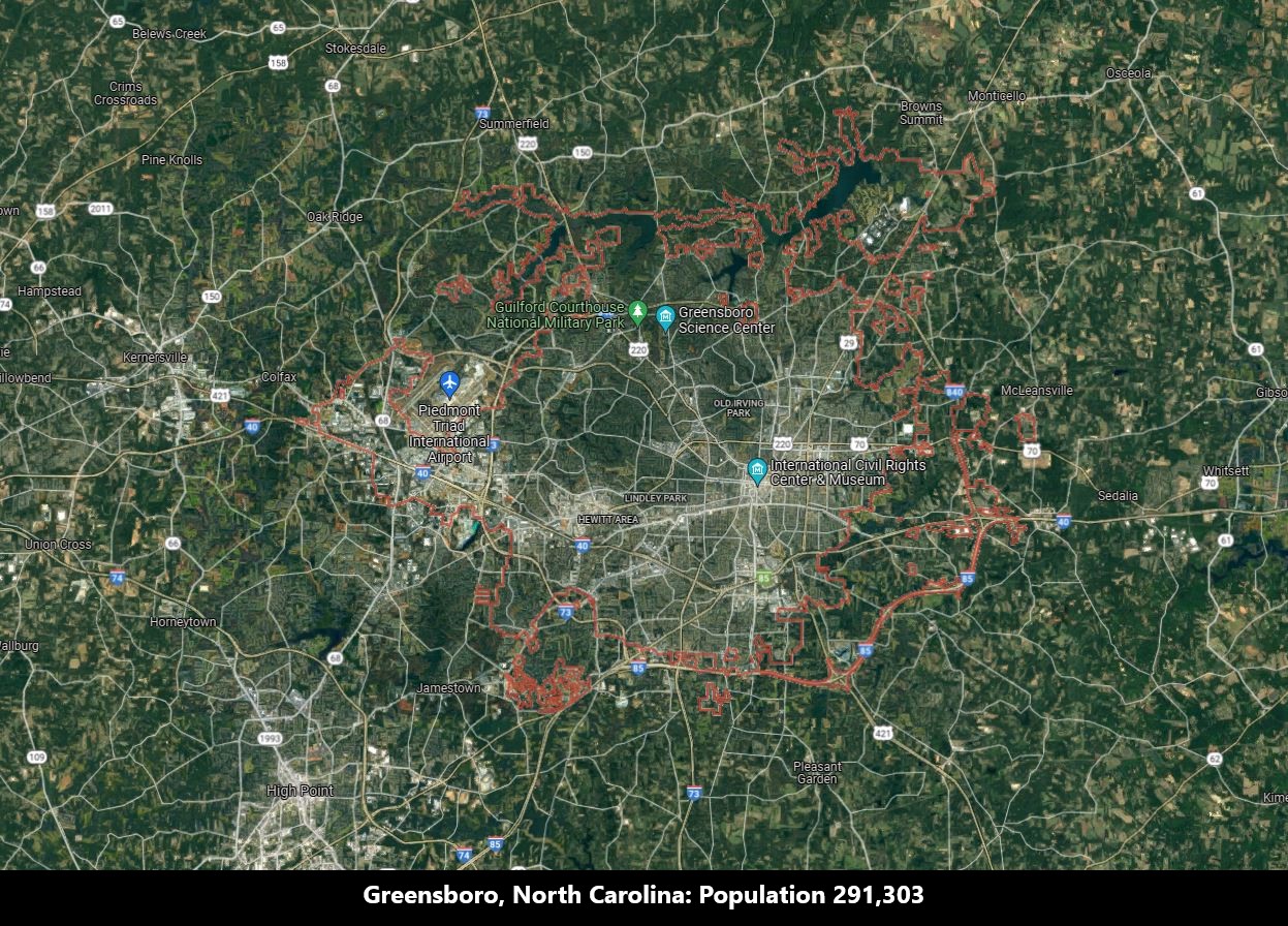
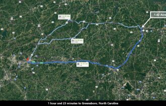
1 hour 23 minutes to Greensboro, North Carolina: Population 291,303 (More Info)
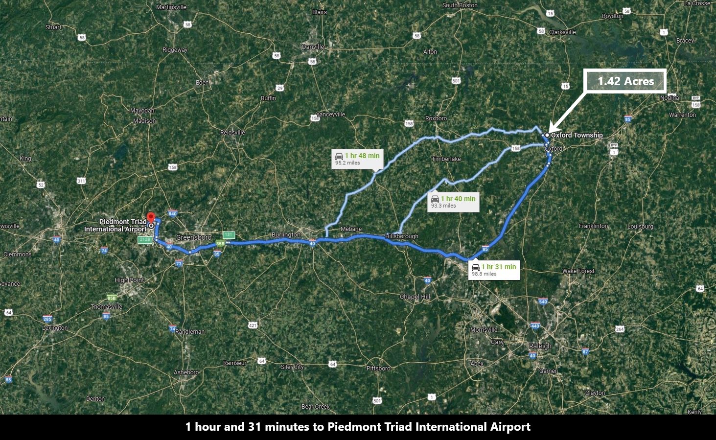
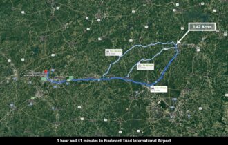
1 hour 31 minutes to Piedmont Triad International Airport (More Info)
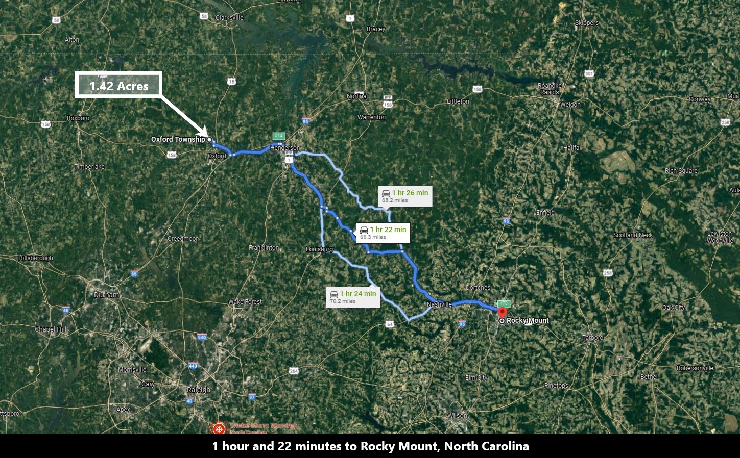
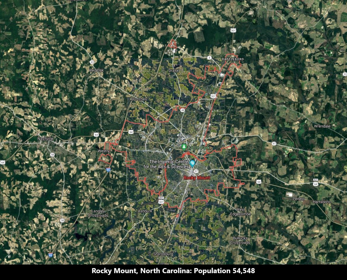
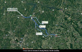
1 hour 22 minutes to Rocky Mount, North Carolina: Population 54,548 (More Info)
Visiting the property
You are welcome to visit the property at your convenience while it is available.
Interactive Maps are generated with MapRight. MapRight has a Free Apple and Android App which can be useful when visiting a property. Below are links to download the Free MapRight App.
Apple (Download App)
Android (Download App)
Interactive Map (View Map)
GPS Coordinates
Northwest Corner: 36.349004, -78.612158 (Google Map)
Northeast Corner: 36.348806, -78.611525 (Google Map)
Southeast Corner: 36.347919, -78.611543 (Google Map)
Southwest Corner: 36.348164, -78.612171 (Google Map)
Center Point Corner: 36.348454, -78.611846 (Google Map)
Nearby Attractions/City
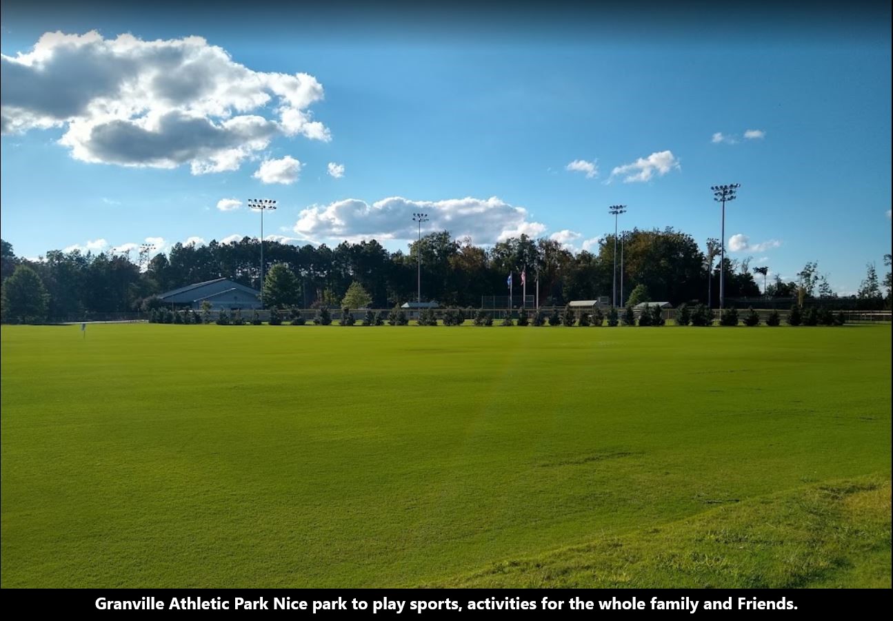
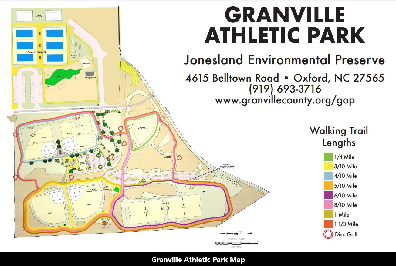
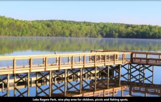
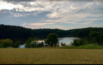
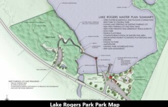
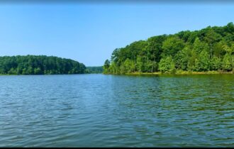
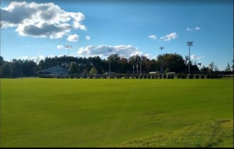
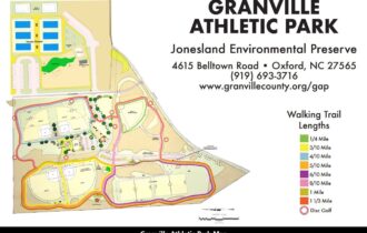
Granville Athletic Park
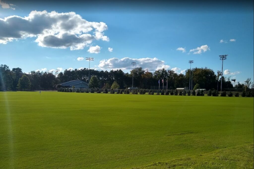
The Granville Athletic Park TRACK Trail is a 1.3-mile loop around the park. You’ll pass through woods and marshes along the route. Keep an eye out for birds and other creatures that call these areas home.
The trail winds its way through the woods, past athletic fields, and other leisure facilities. Hikers will be able to explore the Jonesland Environmental Preserve, a magnificent wetland habitat, in the park’s southeast corner.
The TRACK Trail booklets will assist you in exploring this area and learning about what you could encounter on your hike.