Wooded Lot with Electricity & Road Frontage near Great Bend Park
Payment Options
Payment Note(s)
Once you click the Buy Now button and complete the Checkout Process, we will receive an instant notification that your $499 deposit has been made. The $499 deposit is credited towards your purchase and we cover ALL of the Closing Costs.
The remaining balance may be paid by Wire Transfer, Cashier’s Check, ACH Bank Draft, Credit Card and/or Debit Card. We make the whole process super simple and we can complete your purchase in as little as 1 day.
Call or Text us anytime at (919) 228-8184 for questions or to purchase this property.
Please reference the LANDELLO Property ID : NC_Burlington_00005
Property Information
Parcel Size
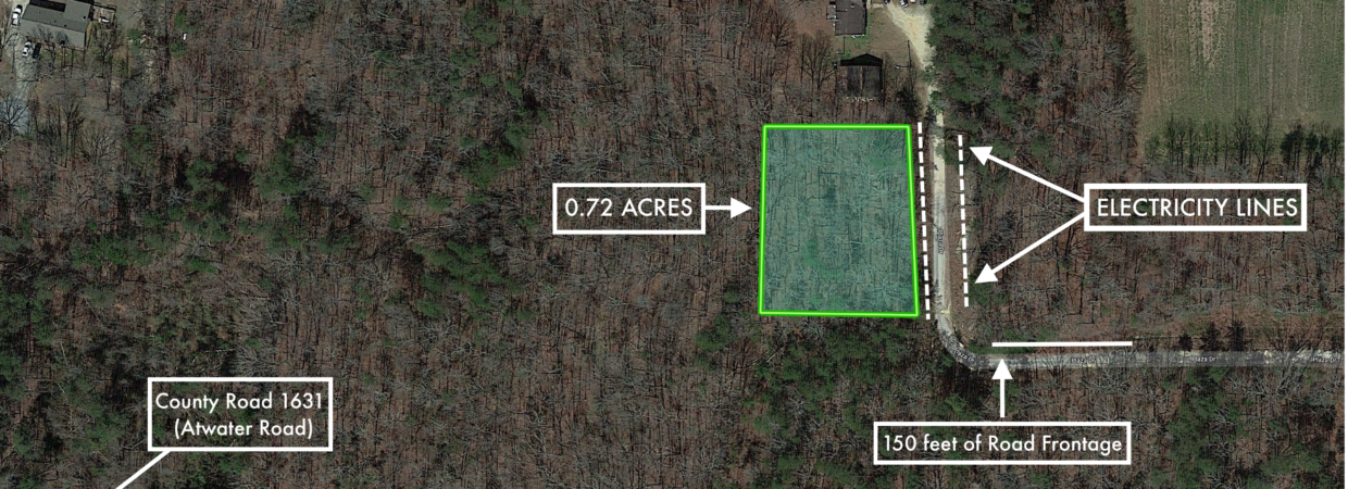
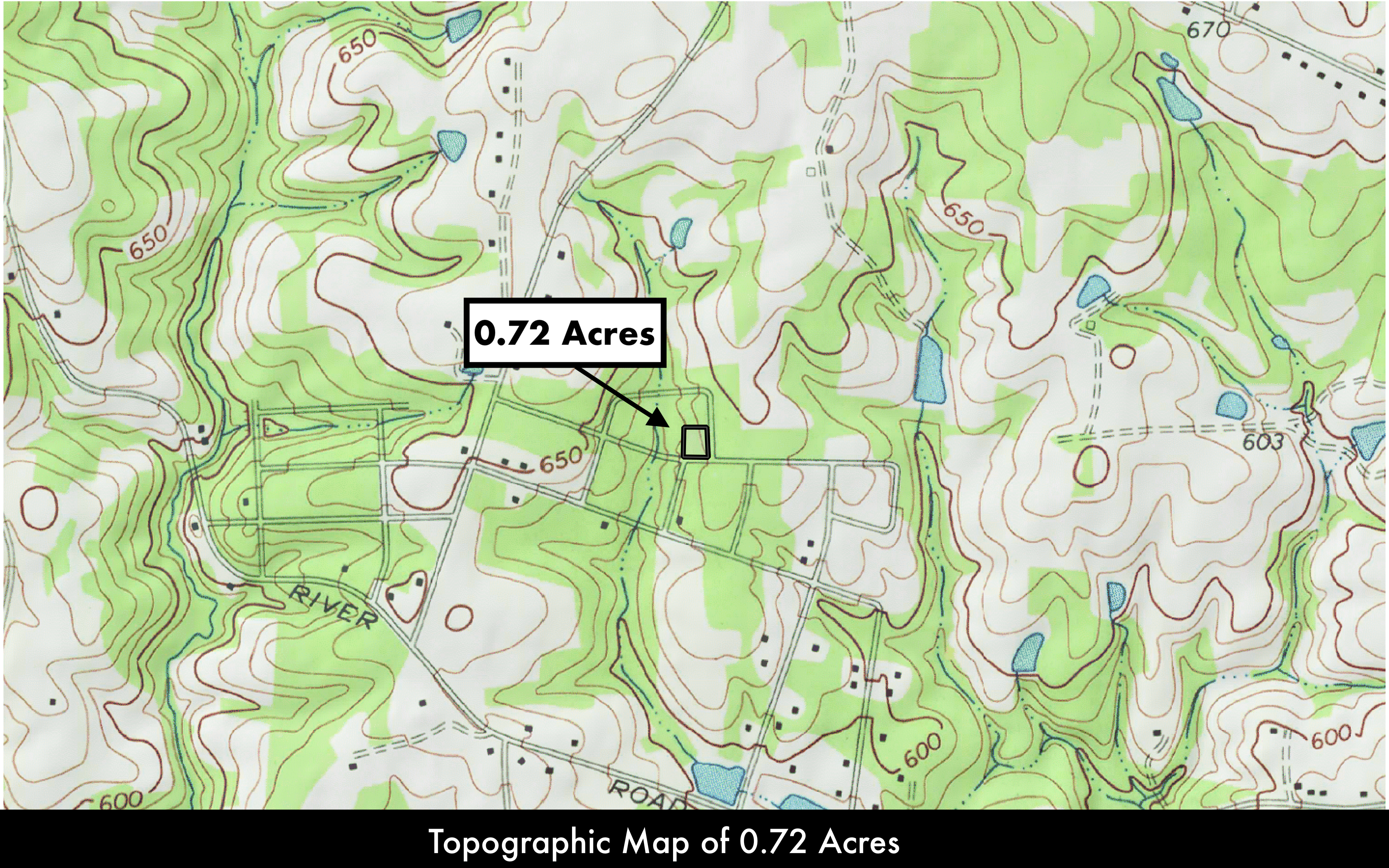
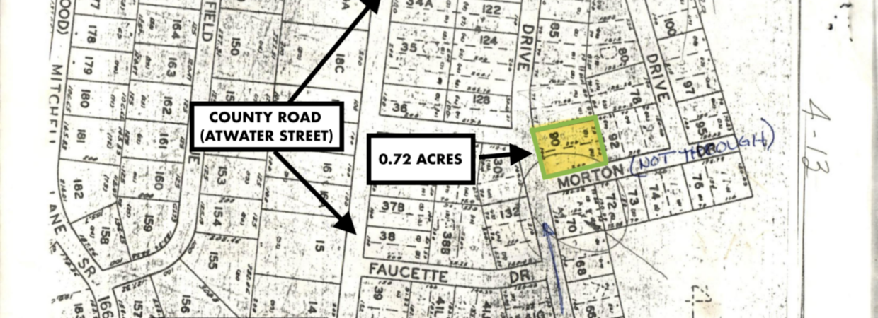
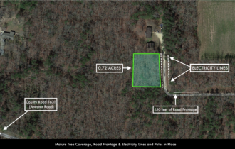
0.72 Acres
State
North Carolina
County
Alamance
Nearest Cities
Greensboro
Parcel #
128865
Address
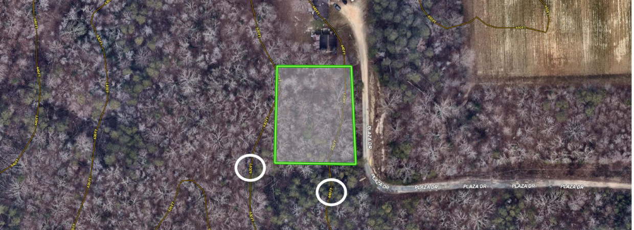
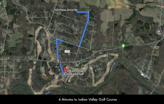
769 Plaza Drive
Legal Description
VL 769 PLAZA DR
Features
Acres
0.37
Dimension
703 x 194
County
Brunswick
Access
Dirt Road
Power
Electric
Water
County Water
Heating
Electric
Septic
Exists
Zoning
Residential
Elevation
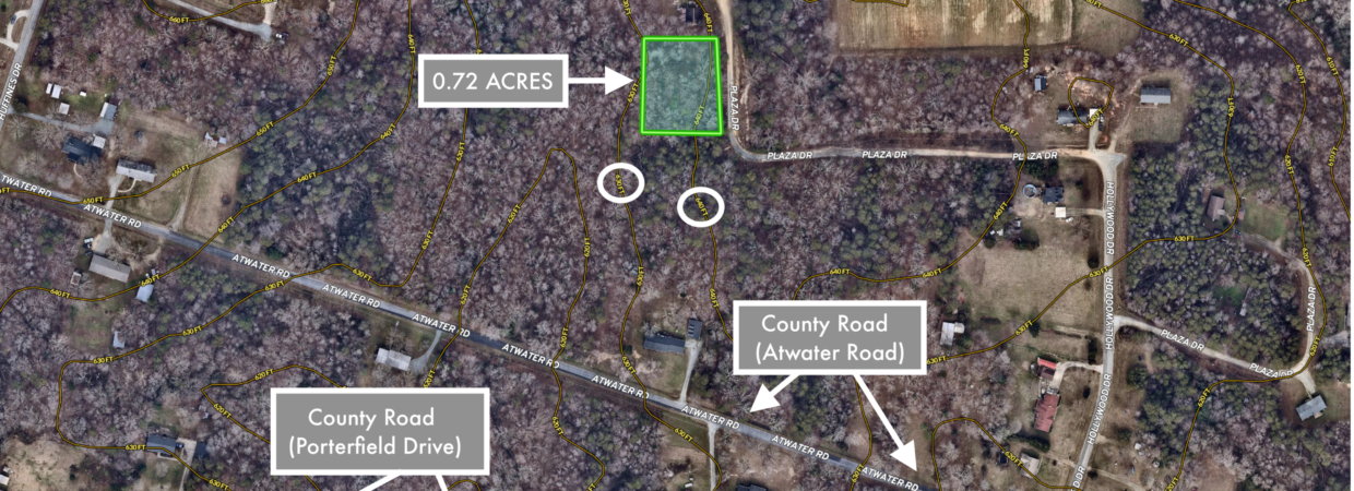
640 FT
Purchase Information/Fees
$250 / One Time
Document Processing
An additional fee of $250 covers the preparation of your agreement, document and recording costs of transferring the property to you once it has been paid in full.
WAIVED
Closing Fee
Normally an additional fee of $200 to close on this property with the title company.
$20/ Mo
Loan Service
The set up of your installments and monthly loan servicing.
Description
Financing is Available for this Property with a Down Payment of as little as $499 and Monthly Payments as low as $114. The $499 Deposit will serve as your Down Payment.
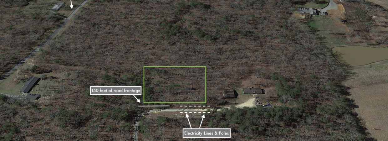
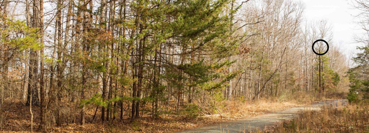
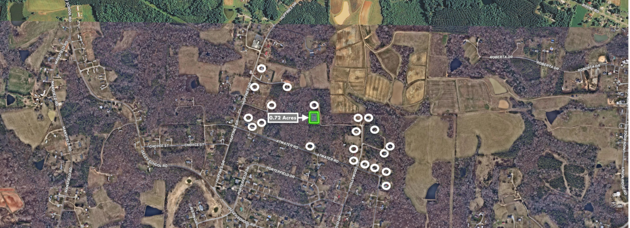
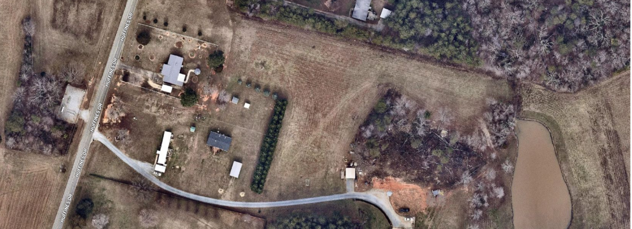
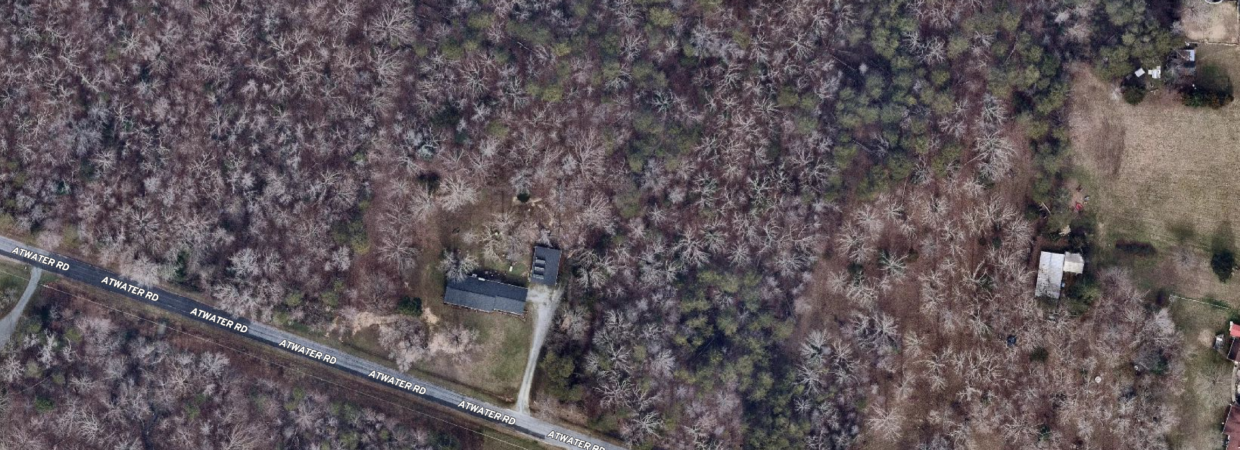
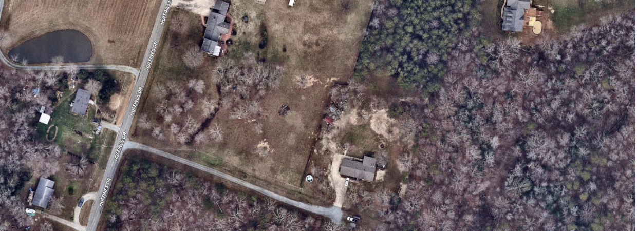
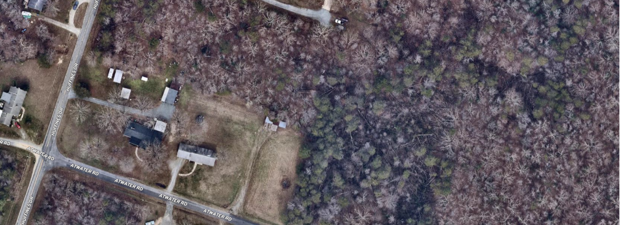
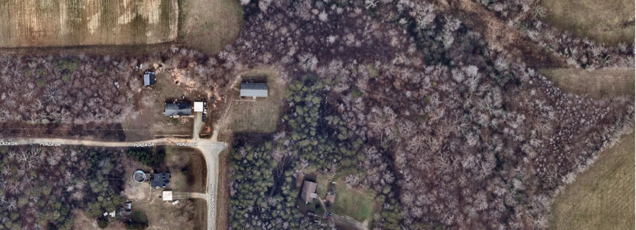
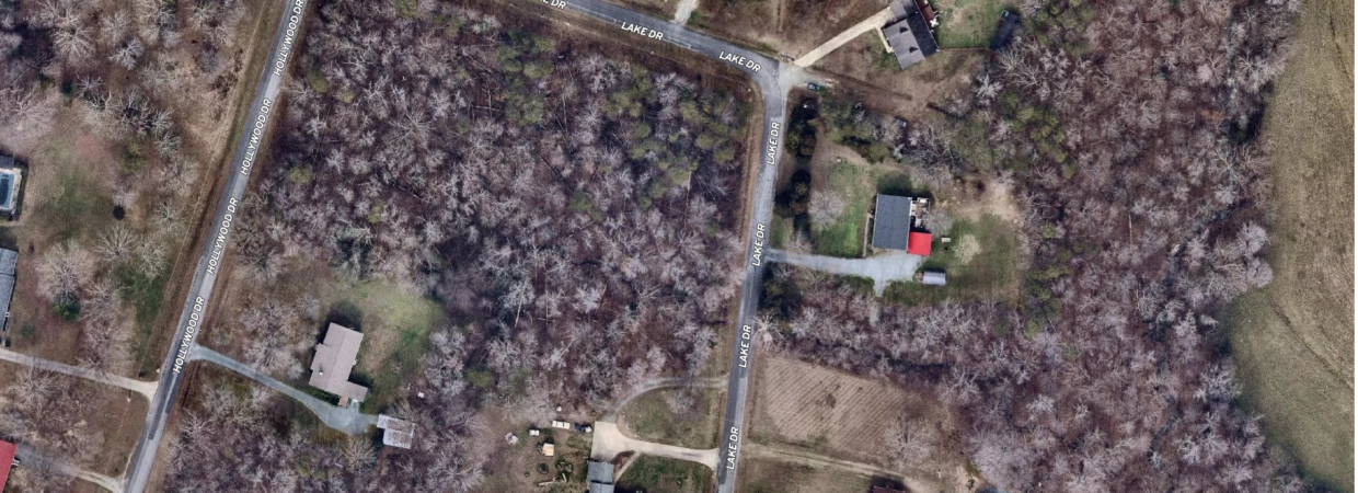
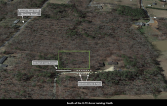
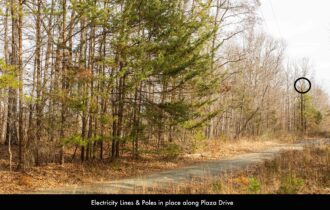
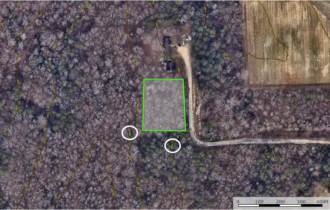
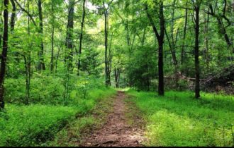
The Wooded Homesite nestled in the heart of Burlington, North Carolina with electricity, telephone and Internet for your cabin, mobile home, tiny home, barndominium or site-built home.
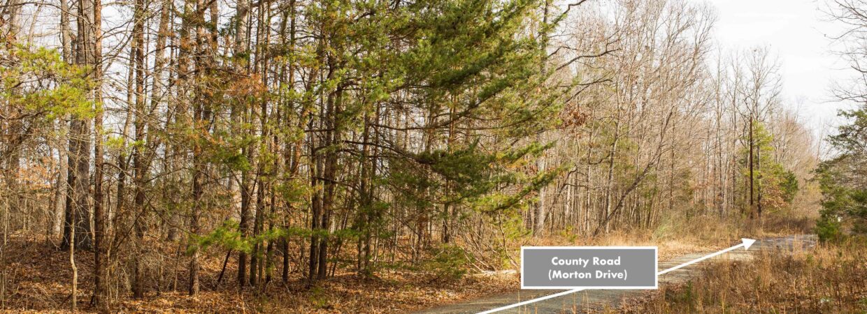
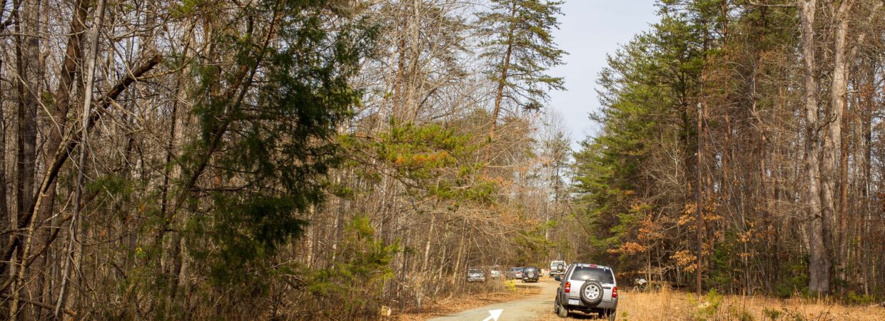
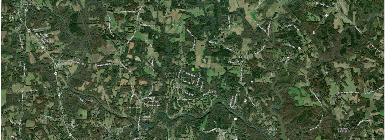
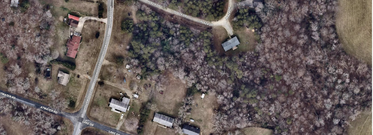
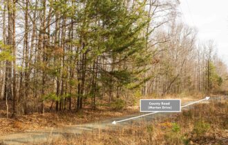
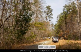
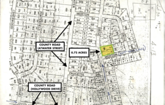
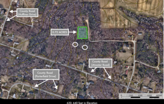
This property has easy access located right off maintained Atwater Road.
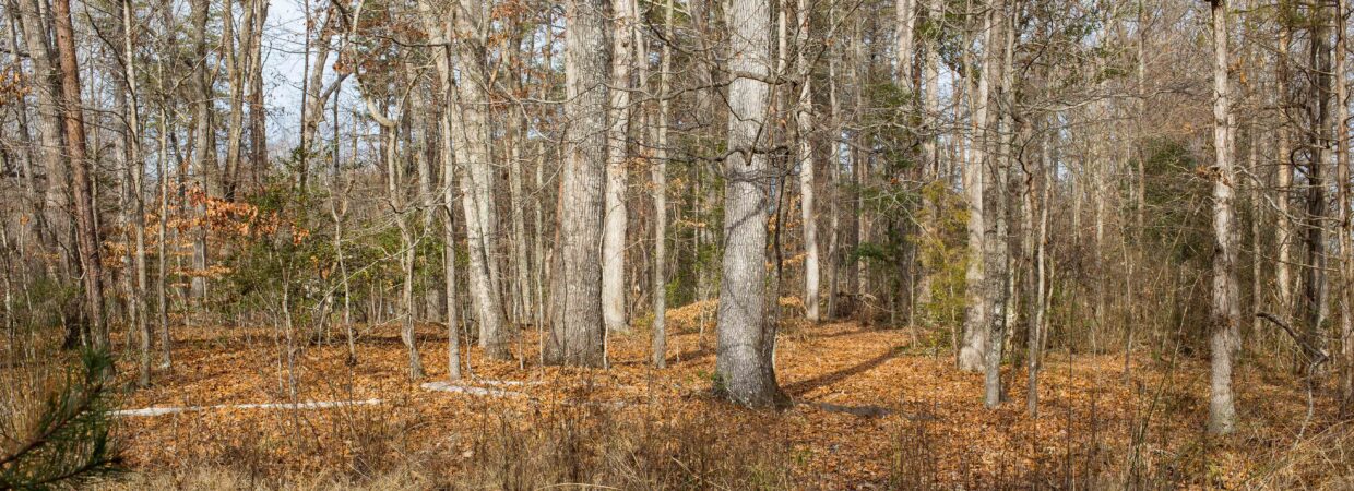
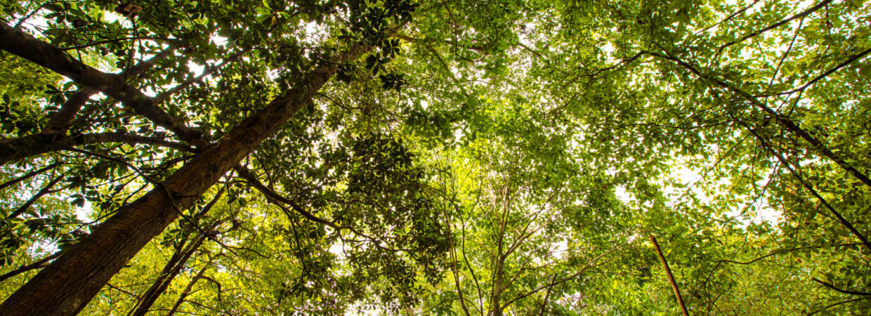
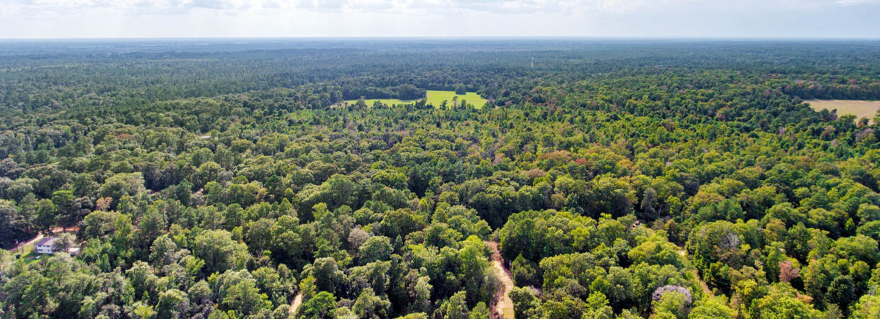
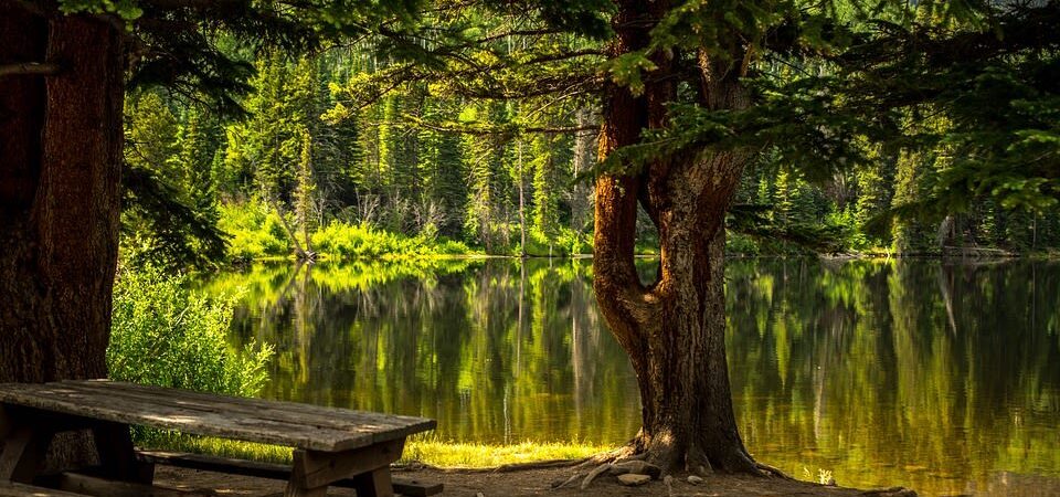
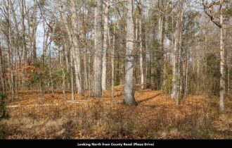
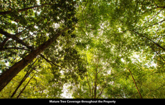
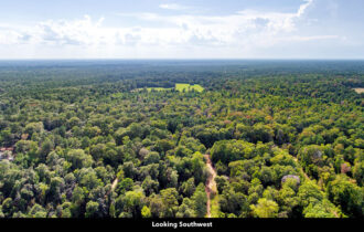
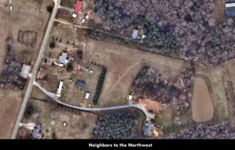
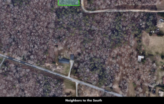
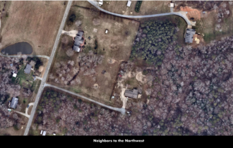
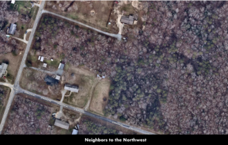
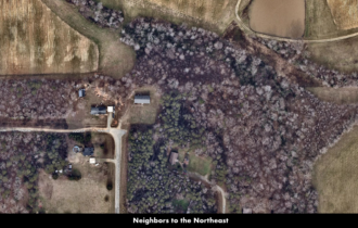
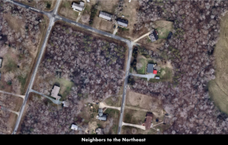
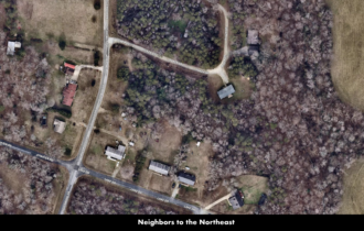
The property is covered throughout with dense mature trees of various sizes and species. The mature pine and hardwood trees covering the property provide a natural canopy of shade and privacy.
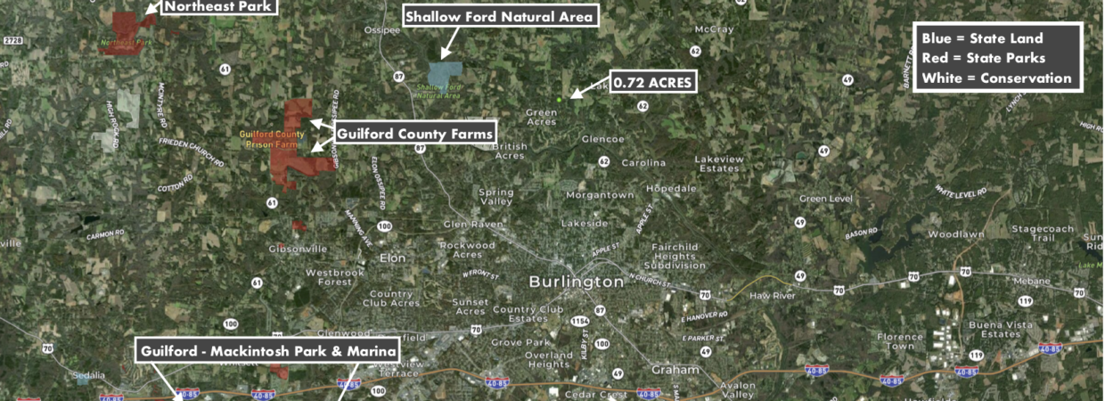
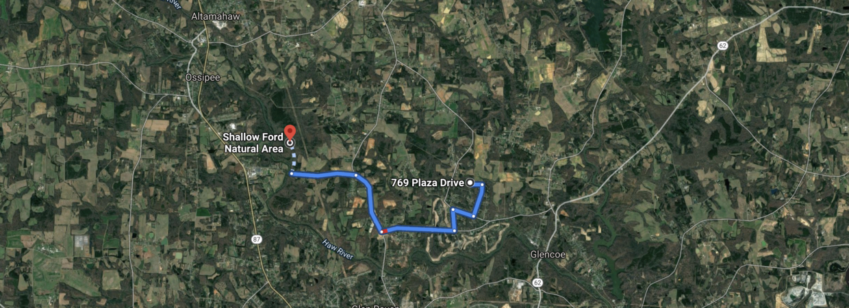
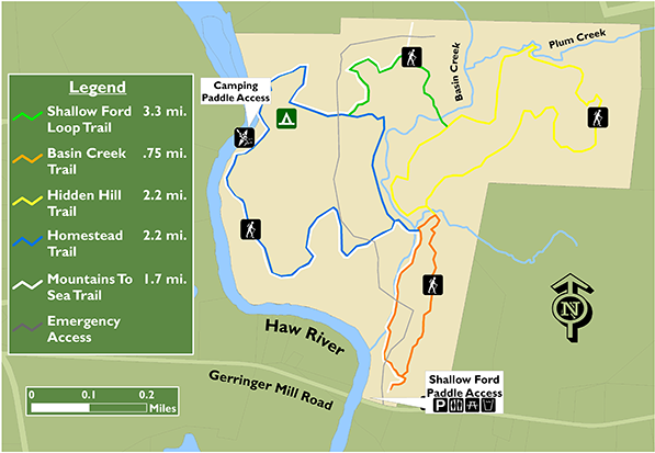
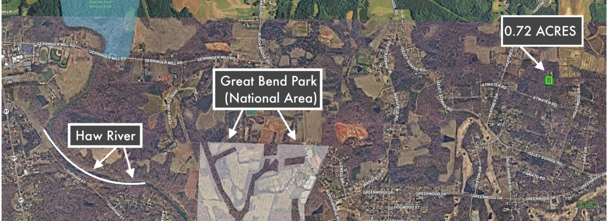
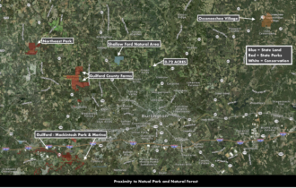
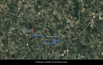
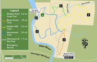
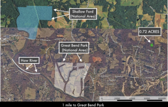
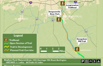
Shallow Ford Natural Area are within minutes of this property. The Shallow Ford Natural Area is a 190-acre natural area featuring approximately 5 miles of hiking trails, paddle access to the Haw River, a Wildflower Meadow and Observation Deck, picnic areas, and backcountry camping.
Shallow Ford also issues also offers Primitive camping which includes over three campsites are available with a group size limit of 10 campers each. The campsites are accessible by canoe/kayak from the Haw River or by a hike from the parking area.
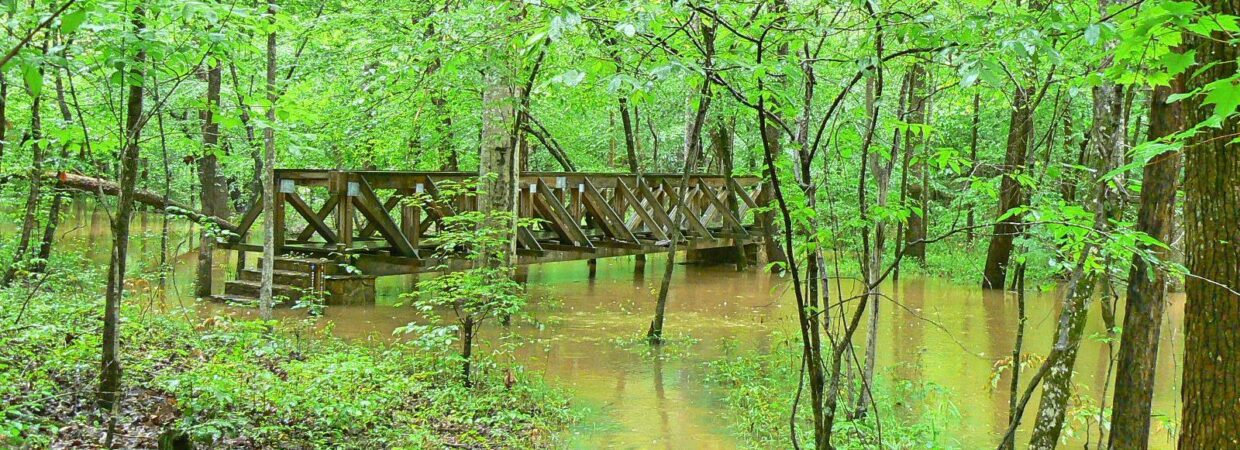
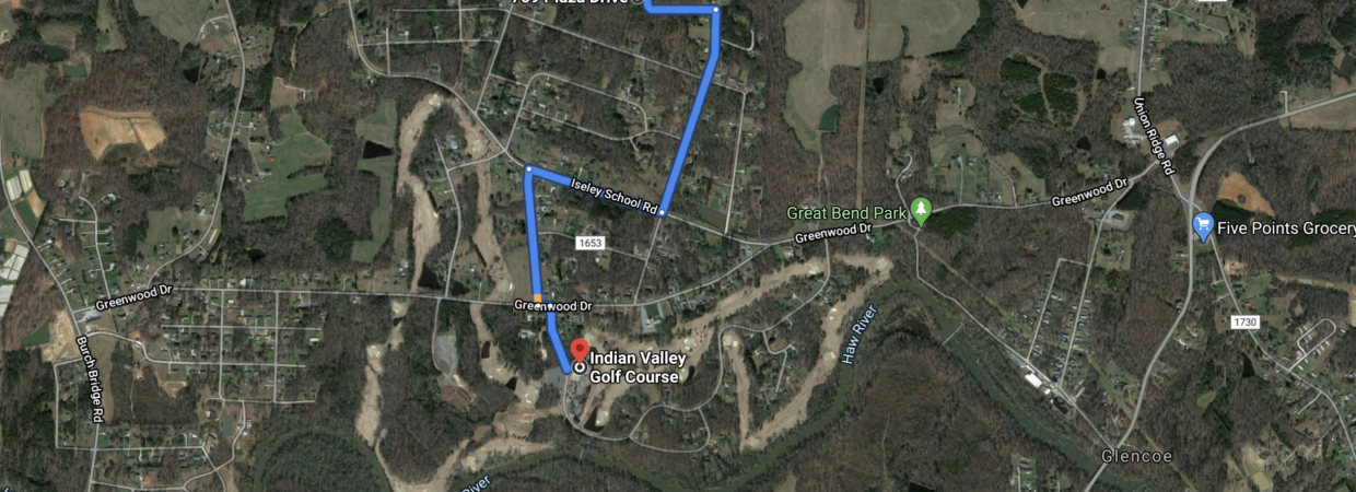
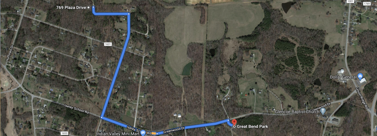
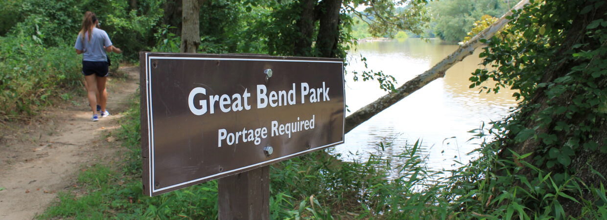
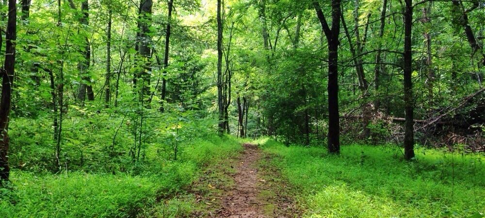
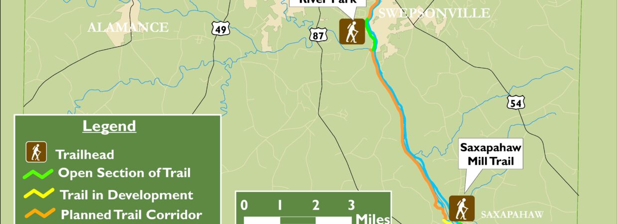
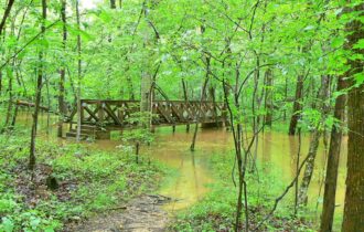
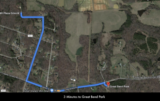
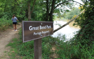
Just 3 minutes from the property is Great Bend Park. Great Bend Park offers over a mile of riverfront and wooded trail. The trailhead provides a parking area with handicap parking and a vault toilet restroom facility. Starting at the trailhead, follow signs for the Haw River Trail/Mountains-to-Sea Trail which will take you to the Island and Highland Trails or point you towards Glencoe.
On the Glencoe Trail make time to visit the Textile Heritage Museum (which showcases life in the mill towns that thrived along the Haw for more than a century, beginning in the early 1800s
From the property,, you are only 12 minutes to Lake Cammack & Marina, which consists of an 850-acre reservoir that is 5 miles long with a shoreline of over 50 miles. The park that serves as the Marina consists of 62 acres of rolling land
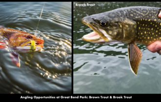
On Lake Cammack & Marina you will enjoy fishing, boating and water sports. Fishing on Lake Cammack & Marina includes
• Largemouth Bass
• Bluegill
• Blue, Channel & Flathead Catfish
• White Bass
• Striped Bass
• Crappie
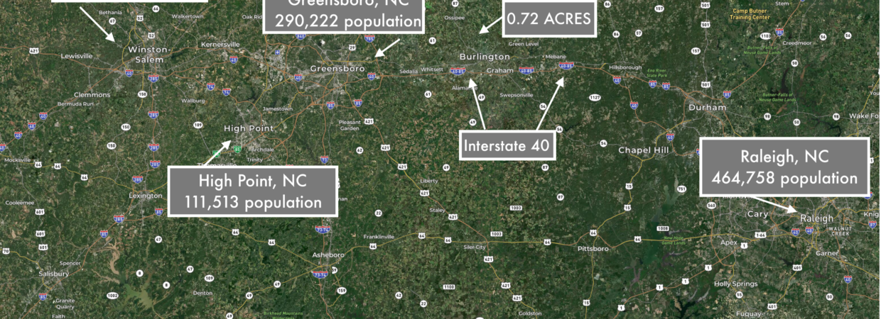
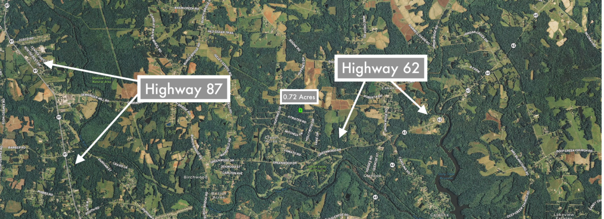
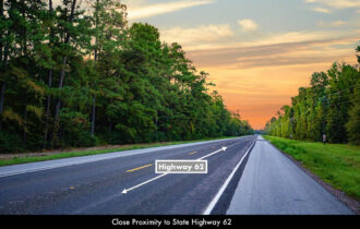
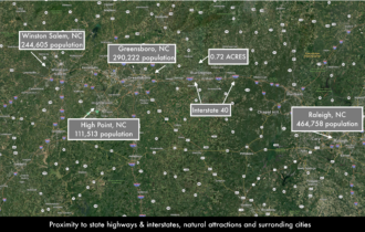
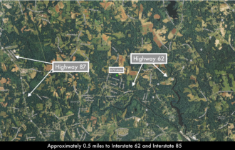
You are also in close proximity to highways, Interstates, town and cities; placing all the modern amenities, groceries, supplies, schools, medical care and employment just a short drive from the property. See the distances to nearby locations below.
Parcel Size: 0.72 Acres
LANDELLO Property ID : NC_Burlington_00005
Legal Description: VL 769 PLAZA DR
APN: 128865
Property Taxes: $36.90 / year
Title: Free & Clear
Conveyance: Warranty Deed
GPS Coordinates: 36.151004, -79.444254 (Google Map)
Electricity Provided by Duke Energy Company ( Website)
Telephone & Internet provided Bell South / AT&T (Website)
Approximate Distance to Nearby Cities & Points of Interest
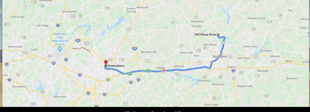
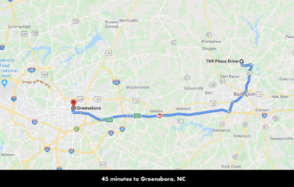
38 minutes to Greensboro, North Carolina: Population 290,222 (more info)
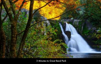
3 minutes to Great Bend Park, North Carolina (more info)
8 minutes to Shallow Ford National Park North Carolina (more info)
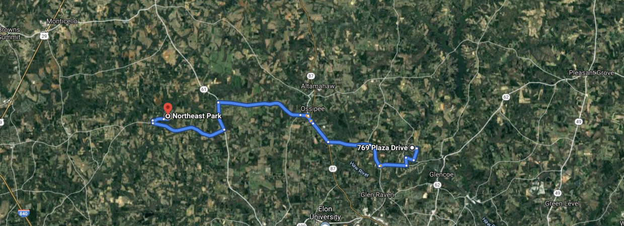
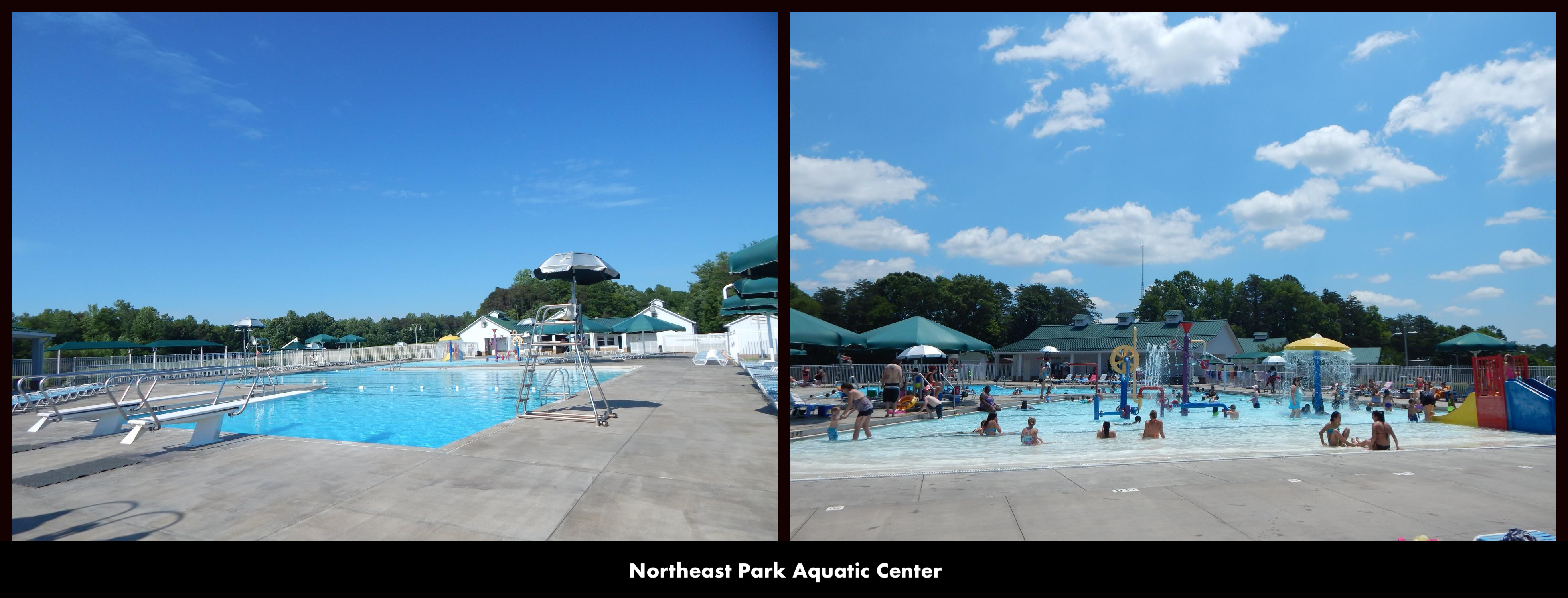
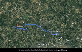
22 minutes to Northeast Park, North Carolina (more info)
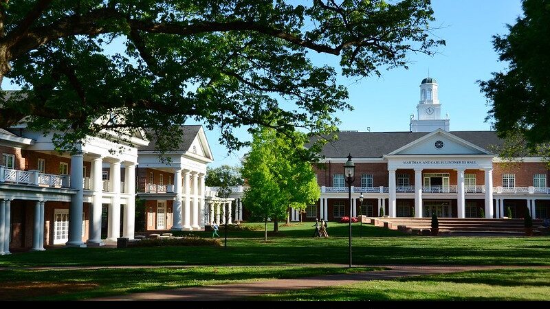
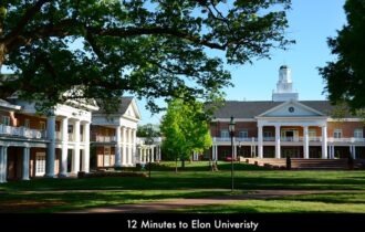
12 minutes to Elon University, North Carolina (more info)
43 minutes to Chapel Hill, North Carolina: Population 59,862 (more info)
46 minutes to Durham, North Carolina: Population 267,743 (more info)
49 minutes to HighPoint, North Carolina: Population 111,513 (more info)
11 minutes to Lake Cammack & Marinak, North Carolina (more info)
3 hours 6 minutes to Blue Ridge Parkway, North Carolina (more info)
1 hour 2 minutes to Winston-Salem, North Carolina: Population 244,605 (more info)
1 hour 56 minutes to Charlotte, North Carolina: Population 859,035 (more info)
1 hour 19 minutes to Uwharrie National Park, North Carolina (more info)
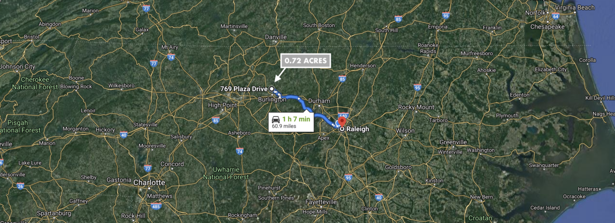
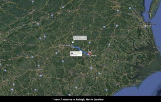
1 hour 8 minutes to Raleigh, North Carolina: Population 464,758 (more info)
3 hours 15 minutes to The Biltmore Estates, North Carolina (more info)
4 hours 29 minutes to Outer Banks, North Carolina (more info)
5 hours 2 minutes to Cape Hatteras, North Carolina (more info)
3 hours 17 minutes to Chimney Rock State Park, North Carolina (more info)
2 hours 51 minutes to Grandfather Mountain, North Carolina (more info)
3 hours 20 minutes to Linville Gorge and Falls, North Carolina (more info)
2 hours 33 minutes to Asheville, North Carolina: Population 91,902 (more info)
2 hours 37 minutes to Pisgah National Forest, North Carolina (more info)
3 hours 30 minutes to Mount Mitchell, North Carolina (more info)
4 hours 51 minutes to Clingmans Dome, North Carolina (more info)
Visiting the Property
You are welcome to visit the property at your convenience while it is available.
Interactive Maps are generated with Google Maps. Google Maps has a Free Apple and Android App which can be useful when visiting a property. Below are links to download the Free MapRight App.
Apple (Download App)
Android (Download App)
Interactive Map (View Map)
GPS Coordinates
Northwest Corner: 36.151258, -79.444025 (Google Map)
Northeast Corner: 36.150769, -79.443971 (Google Map)
Southeast Corner: 36.151265, -79.444503 (Google Map)
Southwest Corner: 36.150754, -79.444520 (Google Map)
Center Point: 36.151004, -79.444254 (Google Map)
Nearby Attractions/City
Trinity River National Wildlife Refuge
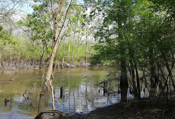
Trinity River National Wildlife Refuge was established on January 4, 1994 with an initial purchase of 4,400 acres. Since that time, the refuge has acquired additional acreage which now totals 30,000 acres. The primary purpose of establishing this refuge is to protect a portion of the bottomland hardwood forest ecosystem along the Trinity River located in southeastern Texas.

